Sodore
Melkassa
Medan gunung api · Ethiopia · 1765 m
- Tipe
- Medan gunung api
- Negara
- Ethiopia
- Wilayah
- Afrika Timur / Main Ethiopian Rift Volcanic Province
- Ketinggian
- 1765 m
- Koordinat
- 8.430, 39.350
- Letusan terakhir
- Tidak diketahui
- Kondisi tektonik
- Intraplate / Continental crust (> 25 km)
- Bentuk lahan
- Cluster
- Batuan utama
- Basalt / Picro-Basalt
Ringkasan geologi
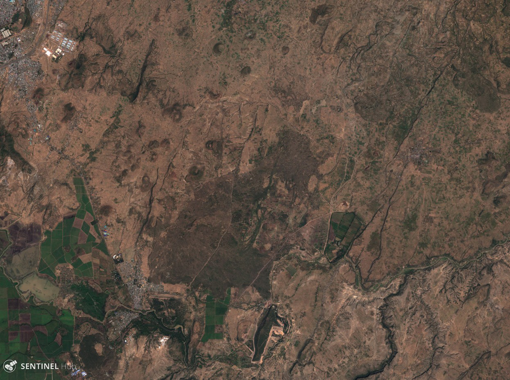
The Melkassa (or Sodore) volcanic field is an extensive 15 x 25 km group of about 30 Pleistocene and Holocene pyroclastic cones and lava flows that covers the floor of the E side of the Ethiopian Rift Valley, around the town of Melkassa, between the Boset volcanic complex and Gedamsa caldera.
Riwayat letusan
Garis waktu rinci
Tidak ada catatan letusan.
Tautan eksternal
- Belum ada di Wikipedia (Bahasa Indonesia). Anda dapat berkontribusi di Wikidata.
- 🔗 Halaman asli Smithsonian GVP
⚠ Untuk referensi saja. Bukan untuk tanggap darurat.