Northern Lake Abaya Volcanic Field
Medan gunung api · Ethiopia · 1594 m
- Tipe
- Medan gunung api
- Negara
- Ethiopia
- Wilayah
- Afrika Timur / Main Ethiopian Rift Volcanic Province
- Ketinggian
- 1594 m
- Koordinat
- 6.760, 37.970
- Letusan terakhir
- Tidak diketahui
- Kondisi tektonik
- Intraplate / Continental crust (> 25 km)
- Bentuk lahan
- Cluster
Ringkasan geologi
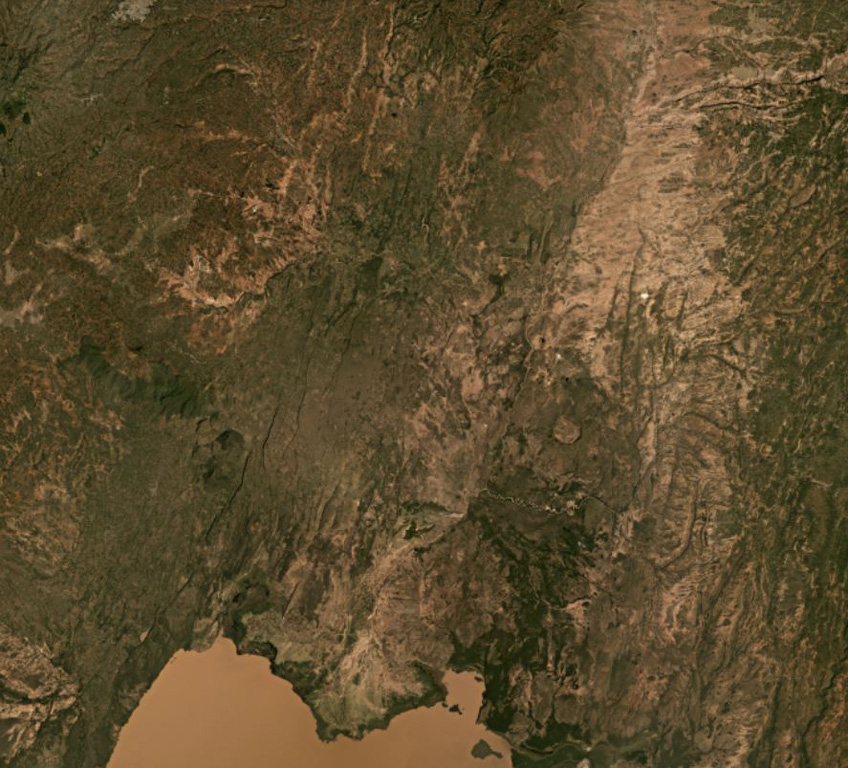
The Northern Lake Abaya volcanic field consists primarily of small Quaternary cones and basaltic lava flows between Doguna volcano to the north, Chericha to the E, Lake Abaya to the south, and the Hobitcha caldera to the west. The 3.5-km-long rhyolitic dome area immediately SE of the Hobitcha caldera trachytic ridge includes recent obsidian flows from vents at Hako and Salewa Dore (Corti et al., 2013).
Riwayat letusan
Garis waktu rinci
Tidak ada catatan letusan.
Tautan eksternal
- Belum ada di Wikipedia (Bahasa Indonesia). Anda dapat berkontribusi di Wikidata.
- 🔗 Halaman asli Smithsonian GVP
⚠ Untuk referensi saja. Bukan untuk tanggap darurat.