Nyambeni Hills
Gunung api perisai · Kenya · 750 m
- Tipe
- Gunung api perisai
- Negara
- Kenya
- Wilayah
- Afrika Timur / Kenyan Rift Volcanic Province
- Ketinggian
- 750 m
- Koordinat
- 0.230, 37.870
- Letusan terakhir
- Tidak diketahui
- Kondisi tektonik
- Rift zone / Continental crust (> 25 km)
- Bentuk lahan
- Shield
- Batuan utama
- Basalt / Picro-Basalt
Ringkasan geologi
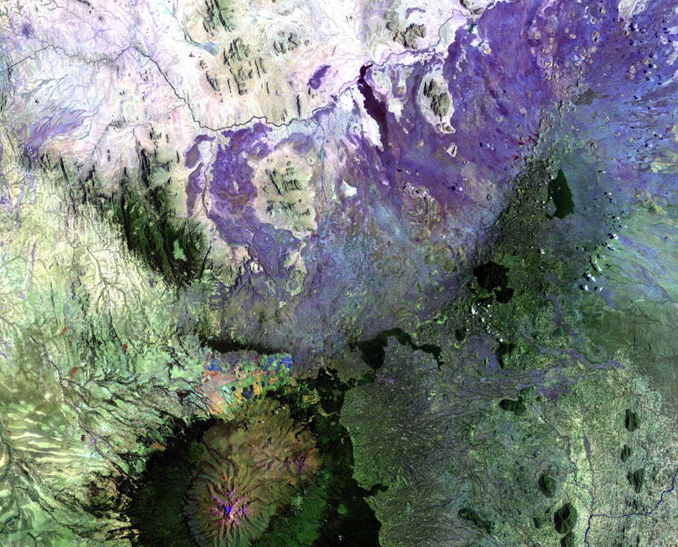
The broad NE-SW-trending Nyambeni shield volcano is capped by numerous phonolitic lava domes, basaltic cones, and lava flows of late-Pleistocene to Holocene age (Hackman et al., 1989). The basaltic cinder cones are the youngest features. They are clustered in a NE-trending belt along the crest of the shield, in a N-S-trending area including the Mula Hills, and in the Giaki area.
Riwayat letusan
Garis waktu rinci
Tidak ada catatan letusan.
Tautan eksternal
- Belum ada di Wikipedia (Bahasa Indonesia). Anda dapat berkontribusi di Wikidata.
- 🔗 Halaman asli Smithsonian GVP
⚠ Untuk referensi saja. Bukan untuk tanggap darurat.