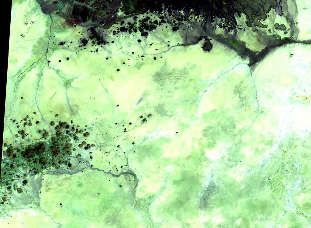
Kutum Volcanic Field
Medan gunung api · Sudan · 1779 m
- Tipe
- Medan gunung api
- Negara
- Sudan
- Wilayah
- Afrika Utara / Southeast Sahara Volcanic Province
- Ketinggian
- 1779 m
- Koordinat
- 14.570, 25.850
- Letusan terakhir
- Tidak diketahui
- Kondisi tektonik
- Intraplate / Continental crust (> 25 km)
- Bentuk lahan
- Cluster
- Batuan utama
- Basalt / Picro-Basalt
Ringkasan geologi
The basaltic Kutum volcanic field, in the northern Darfur area of western Sudan, is located SW of the larger Meidob volcanic field. As with other Saharan volcanic fields, Kutum (also known as the Tagabo Hills or Berti Hills) contains very well-preserved cones, lava flows, and explosion craters. They were considered to be of late-Pleistocene or even Holocene age (Almond, 1974). Franz et al. (1997), however, assigned only Tertiary age ranges for rocks from Tagabo Hills.
Riwayat letusan
Garis waktu rinci
Tidak ada catatan letusan.
Tautan eksternal
- Belum ada di Wikipedia (Bahasa Indonesia). Anda dapat berkontribusi di Wikidata.
- 🔗 Halaman asli Smithsonian GVP
⚠ Untuk referensi saja. Bukan untuk tanggap darurat.