Harra es-Sawad
Sawad, Harra Es-
Medan gunung api · Yemen · 1737 m
- Tipe
- Medan gunung api
- Negara
- Yemen
- Wilayah
- Arab & Asia Tengah / Southwest Arabia Volcanic Province
- Ketinggian
- 1737 m
- Koordinat
- 13.580, 46.120
- Letusan terakhir
- 1253
- Kondisi tektonik
- Intraplate / Continental crust (> 25 km)
- Bentuk lahan
- Cluster
- Batuan utama
- Trachybasalt / Tephrite Basanite
Ringkasan geologi
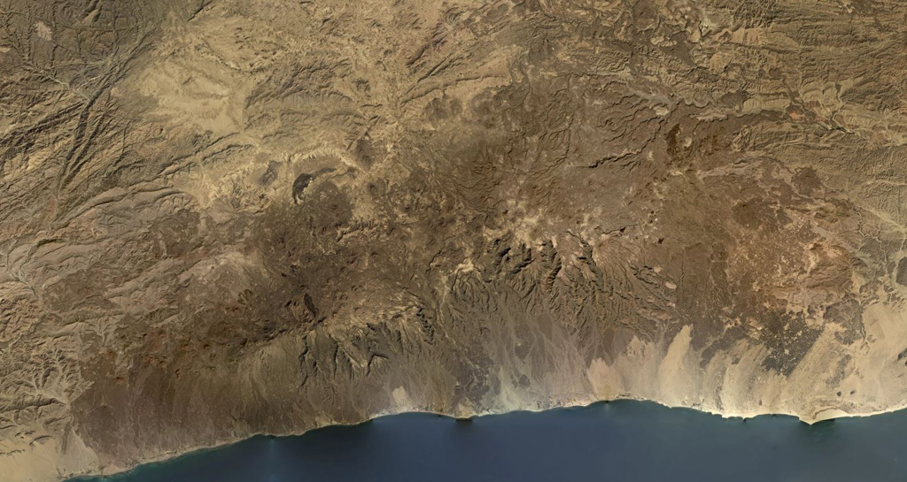
The Harra es-Sawâd (or Shuqra) volcanic field in southern Yemen extends for nearly 100 km along the Gulf of Aden, east of the city of Shuqra (Shaqra). The field is oriented WSW-ENE and contains about a hundred cones that have sent lava flows across a 40 x 95 km area of faulted basement limestones. Most of the volcanic field is Holocene in age (Cox et al., 1977), and in many cases the flows and cones are essentially uneroded. The only recorded event was a major, but poorly documented, eruption in 1253 CE.
Ringkasan Wikipedia
Ringkasan InggrisHarra es-Sawad, or the "Shuqra Volcanic Field", is a large trachybasaltic volcanic field that runs along the Gulf of Aden. Nearby is the city of Shuqrah.
Wikipedia · CC BY-SA · Baca artikel lengkap →
Riwayat letusan
Garis waktu rinci
- 1253VEI 3Teramati1253 – Berlangsung
Tautan eksternal
⚠ Untuk referensi saja. Bukan untuk tanggap darurat.