Malintang
Stratovolkan · Indonesia · 1988 m
- Tipe
- Stratovolkan
- Negara
- Indonesia
- Wilayah
- Sunda & Banda / Sunda Volcanic Arc
- Ketinggian
- 1988 m
- Koordinat
- 0.476, 99.663
- Letusan terakhir
- Tidak diketahui
- Kondisi tektonik
- Subduction zone / Continental crust (> 25 km)
- Bentuk lahan
- Composite
- Batuan utama
- Andesite / Basaltic Andesite
Ringkasan geologi
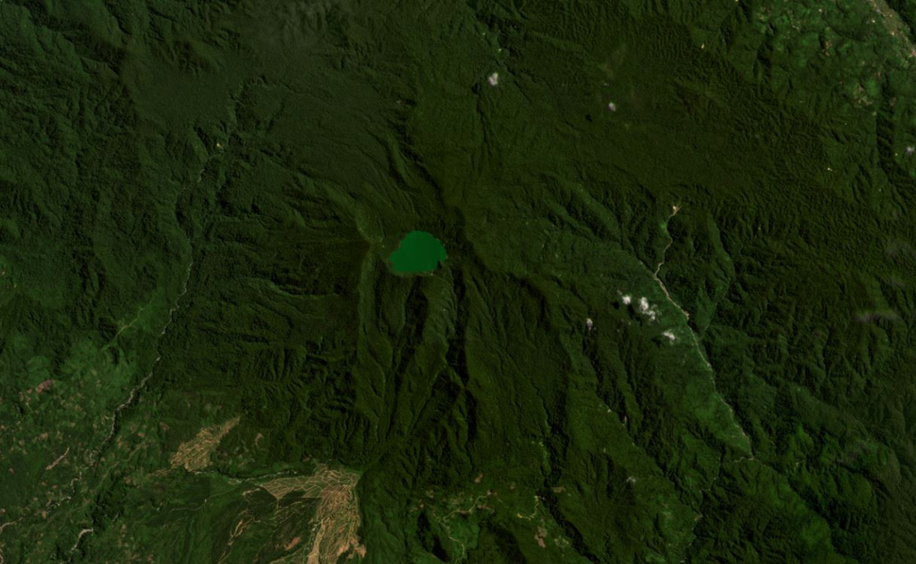
The broad forested Malintang andesitic-to-dacitic stratovolcano has an irregular summit crater with a 900 x 1,500 m lake. The flanks are relatively uneroded, and it most likely has had significant eruptions within the past few thousand years (Kieh, 2009 pers. comm.). The open caldera may be related to emplacement of a large debris avalanche.
Riwayat letusan
Garis waktu rinci
Tidak ada catatan letusan.
Tautan eksternal
- Belum ada di Wikipedia (Bahasa Indonesia). Anda dapat berkontribusi di Wikidata.
- 🔗 Halaman asli Smithsonian GVP
⚠ Untuk referensi saja. Bukan untuk tanggap darurat.