Gunung Patah
Patah
Stratovolkan · Indonesia · 2836 m
- Tipe
- Stratovolkan
- Negara
- Indonesia
- Wilayah
- Sunda & Banda / Sunda Volcanic Arc
- Ketinggian
- 2836 m
- Koordinat
- -4.257, 103.306
- Letusan terakhir
- Tidak diketahui
- Kondisi tektonik
- Subduction zone / Continental crust (> 25 km)
- Bentuk lahan
- Composite
- Batuan utama
- No Data (checked)
Ringkasan geologi
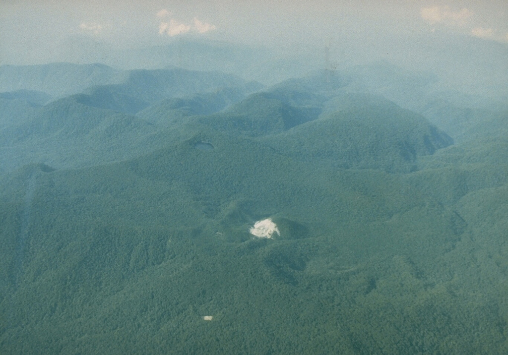
Patah is a heavily forested, dissected Quaternary volcano SE of Dempo volcano. The age of its latest eruptions is not known, although on 1 May 1989 a possible new 150-m-wide crater with active fumaroles was observed by a cargo aircraft pilot in a heavily forested area on the side of a small cone about 3 km SE of Gunung Patah. The exact date of its formation, and its geologic relationship to Patah are uncertain. A crater lake at the summit of another peak, Bukit Belirang (Sulfur Hill), is located 1.5 km S of the fumaroles.
Ringkasan Wikipedia
Gunung Patah adalah gunung berapi berusia pada periode kuaterner, dengan vegetasi hutan hujan tropis yang sangat lebat, terletak pada Kabupaten Kaur, Provinsi Bengkulu Indonesia. Pada 1 Mei 1989, terjadi aktivitas fumarol yang oleh seorang pilot di dekat puncak, tanggal pembentukannya dan hubungan geologinya tidak diketahui secara pasti aktivitasnya.
Wikipedia · CC BY-SA · Baca artikel lengkap →
Riwayat letusan
Garis waktu rinci
Tidak ada catatan letusan.
Tautan eksternal
⚠ Untuk referensi saja. Bukan untuk tanggap darurat.