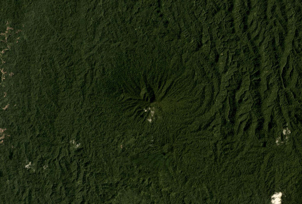
Tobaru
Stratovolkan · Indonesia · 1035 m
- Tipe
- Stratovolkan
- Negara
- Indonesia
- Wilayah
- Pasifik Barat / Halmahera Volcanic Arc
- Ketinggian
- 1035 m
- Koordinat
- 1.630, 127.670
- Letusan terakhir
- Tidak diketahui
- Kondisi tektonik
- Subduction zone / Oceanic crust (< 15 km)
- Bentuk lahan
- Composite
- Batuan utama
- Andesite / Basaltic Andesite
Ringkasan geologi
Gunung Tobaru, also known as Lolodai, is located in northern Halmahera WSW of Dukono and NNE of Ibu. Supriatna (1980) mapped the little known andesitic volcano as Holocene.
Ringkasan Wikipedia
Gunung Tobaru atau Gunung Lolodai terletak di bagian utara pulau Halmahera, sebelah barat gunung api Dukono. Sedikit yang diketahui tentang gunung berapi ini karena berada di tempat terpencil.
Wikipedia · CC BY-SA · Baca artikel lengkap →
Riwayat letusan
Garis waktu rinci
Tidak ada catatan letusan.
Tautan eksternal
⚠ Untuk referensi saja. Bukan untuk tanggap darurat.