Pulau Fukue
Fukue
Medan gunung api · Japan · 315 m
- Tipe
- Medan gunung api
- Negara
- Japan
- Wilayah
- Pasifik Barat / Nankai Volcanic Arc
- Ketinggian
- 315 m
- Koordinat
- 32.657, 128.849
- Letusan terakhir
- -400
- Kondisi tektonik
- Subduction zone / Continental crust (> 25 km)
- Bentuk lahan
- Cluster
- Batuan utama
- Basalt / Picro-Basalt
Ringkasan geologi
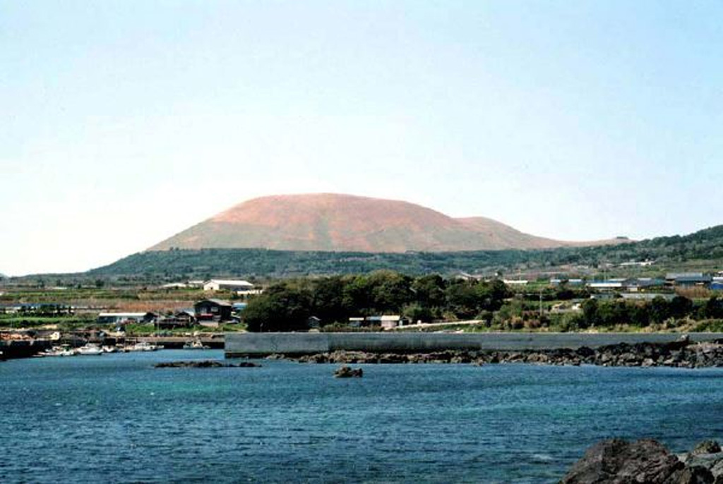
A group of small olivine basaltic shield volcanoes and cinder cones lies at the eastern end of Fukuejima in the Goto Islands off the western coast of Kyushu. Activity at the Fukue volcano group began about 900,000 years ago, and the latest activity took place about 2,000-3,000 years ago (Nakano et al., 2001-). The volcanic field, whose high point is the Onidake cinder cone (about 300 m elevation), forms peninsulas at the E and SE tips of Fukue Island as well as several smaller islands to the SE.
Riwayat letusan
Ringkasan (VEI dari waktu ke waktu)
Klik pada bar untuk melihat letusan individu
Garis waktu rinci
- 400 SMVEI ?Perkiraan geologiBCE 400 – BerlangsungHino-take
Tautan eksternal
⚠ Untuk referensi saja. Bukan untuk tanggap darurat.