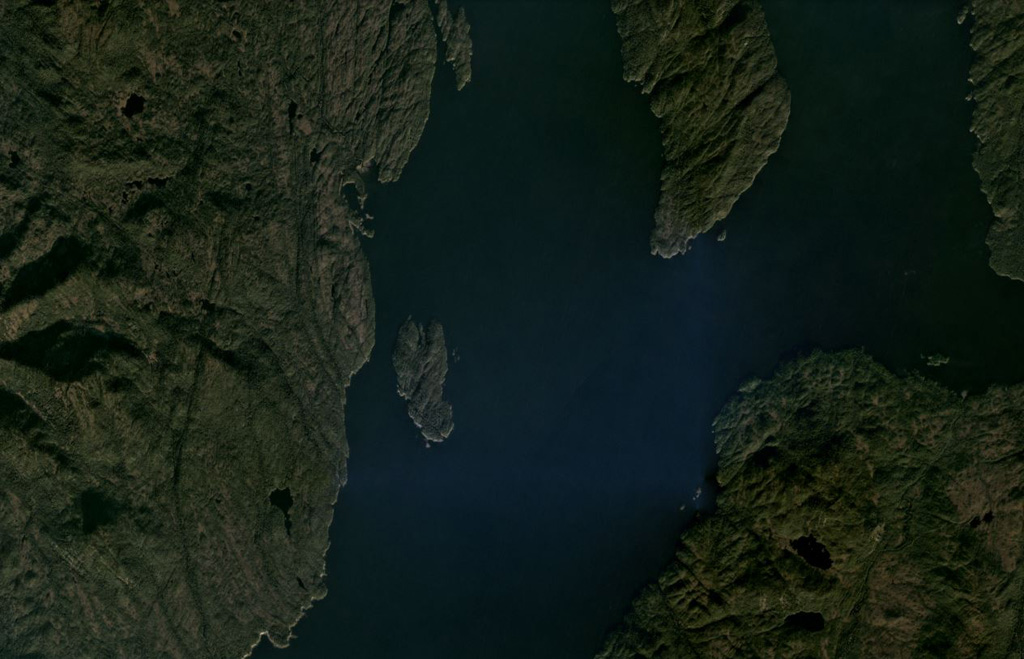
Behm Canal-Rudyerd Bay
Medan gunung api · United States · 500 m
- Tipe
- Medan gunung api
- Negara
- United States
- Wilayah
- Amerika Utara / Northern Cordilleran Volcanic Province
- Ketinggian
- 500 m
- Koordinat
- 55.350, -131.000
- Letusan terakhir
- Tidak diketahui
- Kondisi tektonik
- Intraplate / Continental crust (> 25 km)
- Bentuk lahan
- Cluster
- Batuan utama
- Basalt / Picro-Basalt
Ringkasan geologi
Numerous basaltic cinder cones and lava flows occur in the panhandle of SE Alaska on both sides of Behm Canal, which divides Revillagigedo Island from the mainland. The lava flows, which are locally columnar-jointed and overlie glacial-fluvial sediments and granitic gneisses of the Coast Mountains, are located on the E and SE sides of Revillagigedo Island and at Rudyerd Bay across Behm Canal to the east. Most exposures are on SE Revillagigedo Island, but outcrops also occur on the mainland east of Behm Canal at the southern end of Punchbowl Cove at Rudyerd Bay. Undisturbed cinder cones and lava-flow surfaces at Painted Peak on SE Revillagigedo Island and elsewhere indicate that most of the activity was post-glacial (Brew, in Wood and Kienle, 1990). Pumice, lapilli, and ash deposits locally cover parts of glaciated ridge tops. Lava flows at the outlet of Lake Grace near Behm Canal on the eastern side of Revillagigedo Island were considered to be of late-Pleistocene or Holocene age (Wanek and Callahan, 1971). Minor andesitic and trachyandesitic flows are also present.
Riwayat letusan
Garis waktu rinci
Tidak ada catatan letusan.
Tautan eksternal
- Belum ada di Wikipedia (Bahasa Indonesia). Anda dapat berkontribusi di Wikidata.
- 🔗 Halaman asli Smithsonian GVP
⚠ Untuk referensi saja. Bukan untuk tanggap darurat.