Southern EPR-Segment I
Southern EPR at 18.5°S (Segment I)
Rekahan erupsi · Undersea Features · 2600 m (bawah laut)
- Tipe
- Rekahan erupsi
- Negara
- Undersea Features
- Wilayah
- Pasifik Selatan / Southern East Pacific Rise Volcanic Province
- Ketinggian
- 2600 m (bawah laut)
- Koordinat
- -18.530, -113.420
- Letusan terakhir
- 1915
- Kondisi tektonik
- Rift zone / Oceanic crust (< 15 km)
- Bentuk lahan
- Cluster
- Batuan utama
- Basalt / Picro-Basalt
Ringkasan geologi
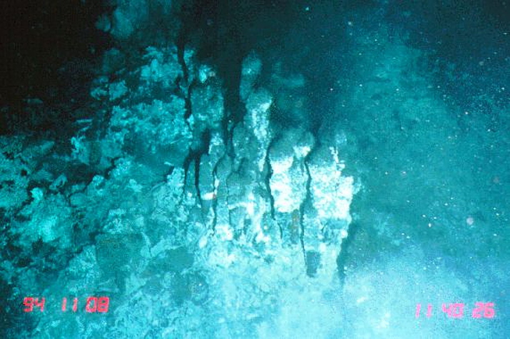
The narrow axial crest of Segment I of the Southern East Pacific Rise in some places is less than 50 m wide. An axial dome is located along the southern part of the segment. The largest lava flow field in this segment is the Animal Farm flow, named after a thriving low-temperature hydrothermal site discovered during a submersible expedition in 1993. The Animal Farm lava flow was dated by magnetic paleointensity measurements at about 1880-1950 CE, and older flows were dated by similar techniques to the 17th and 19th centuries.
Riwayat letusan
Ringkasan (VEI dari waktu ke waktu)
Klik pada bar untuk melihat letusan individu
Garis waktu rinci
- 1915 (±40 tahun)VEI 0Perkiraan geologi1915-07-02 – Berlangsung
- 1860VEI 0Perkiraan geologi1860-07-02 – Berlangsung
- 1620VEI 0Perkiraan geologi1620 – Berlangsung
Tautan eksternal
- Belum ada di Wikipedia (Bahasa Indonesia). Anda dapat berkontribusi di Wikidata.
- 🔗 Halaman asli Smithsonian GVP
⚠ Untuk referensi saja. Bukan untuk tanggap darurat.