Romeral
Stratovolkan · Colombia · 3769 m
- Tipe
- Stratovolkan
- Negara
- Colombia
- Wilayah
- Amerika Selatan / Northern Andean Volcanic Arc
- Ketinggian
- 3769 m
- Koordinat
- 5.203, -75.363
- Letusan terakhir
- -5390
- Kondisi tektonik
- Subduction zone / Continental crust (> 25 km)
- Bentuk lahan
- Composite
- Batuan utama
- Andesite / Basaltic Andesite
Ringkasan geologi
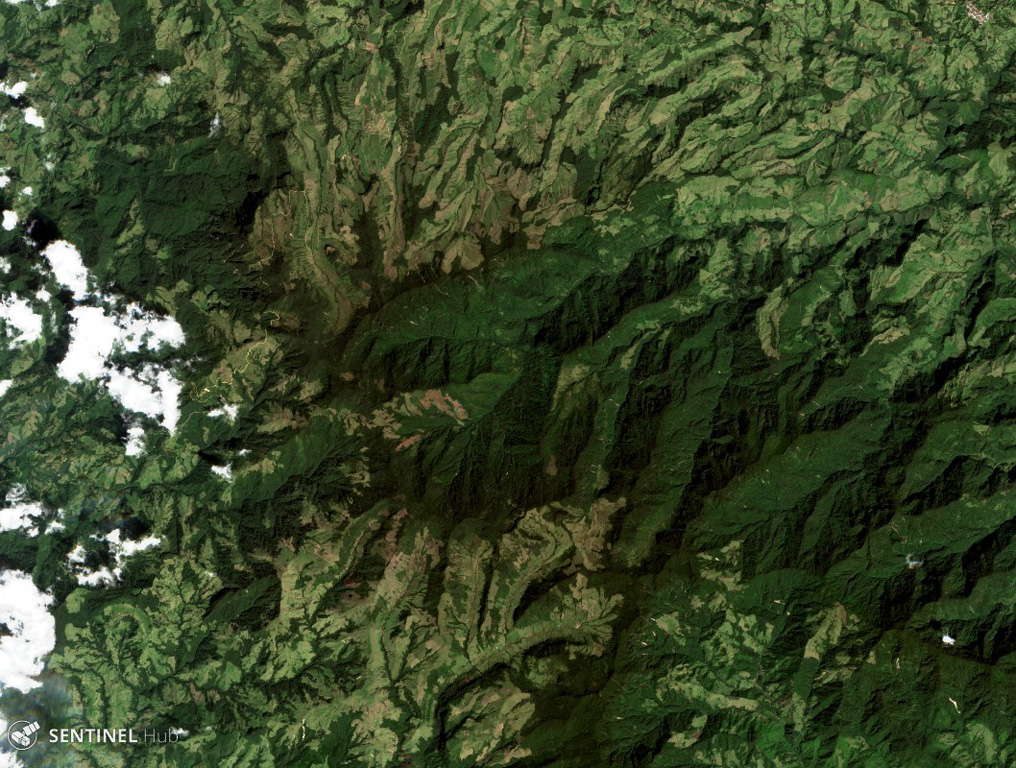
The andesitic-to-dacitic Romeral stratovolcano lies at the northern end of the Ruiz-Tolima volcanic chain, NW of Cerro Bravo volcano, and east of the towns of Neira and Aranzazu. It has produced two young Plinian pumice deposits covering areas to the NW. The pumice deposits are separated by a soil layer radiocarbon dated at about 8,460 and 7,340 years BP.
Ringkasan Wikipedia
Ringkasan InggrisRomeral is a stratovolcano located in Caldas, Colombia. It is the northernmost Holocene volcano of South America, of the North Volcanic Zone in the Andean Volcanic Belt. The volcano was formed in the Late Pliocene, approximately 3 million years ago.
Wikipedia · CC BY-SA · Baca artikel lengkap →
Riwayat letusan
Ringkasan (VEI dari waktu ke waktu)
Klik pada bar untuk melihat letusan individu
Garis waktu rinci
- 5390 SM (±350 tahun)VEI 4Perkiraan geologiBCE 5390 – Berlangsung
- 6510 SM (±200 tahun)VEI 4Perkiraan geologiBCE 6510 – Berlangsung
Tautan eksternal
⚠ Untuk referensi saja. Bukan untuk tanggap darurat.