Crater Basalt Volcanic Field
Medan gunung api · Argentina · 1344 m
- Tipe
- Medan gunung api
- Negara
- Argentina
- Wilayah
- Amerika Selatan / Southern Andean Volcanic Arc
- Ketinggian
- 1344 m
- Koordinat
- -42.018, -70.194
- Letusan terakhir
- Tidak diketahui
- Kondisi tektonik
- Intraplate / Continental crust (> 25 km)
- Bentuk lahan
- Cluster
- Batuan utama
- Trachybasalt / Tephrite Basanite
Ringkasan geologi
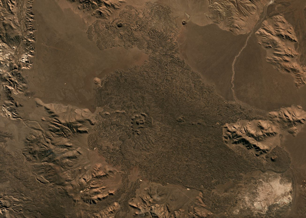
The Crater Basalt volcanic field in the northern Patagonia region of Argentina covers an area of about 700 km2. The field lies about 400 km E of the Peru-Chile trench along the broad regional Gastre fault system. Nine cinder cones and spatter cones produced blocky lava flows of alkali basaltic, basanitic, and trachybasaltic composition. One of the largest features is Cerro Fermín, a cinder cone that produced multiple lava flows. The highest cone, Cerro Negro, fed lava flows that traveled to the W, E, and then NE, where its distal margin is cut by a provincial road. Some of the lava flows, such as those from Cerro Ventana and Cerro Contreras, cover Holocene shorelines of playa lakes.
Riwayat letusan
Garis waktu rinci
Tidak ada catatan letusan.
Tautan eksternal
- Belum ada di Wikipedia (Bahasa Indonesia). Anda dapat berkontribusi di Wikidata.
- 🔗 Halaman asli Smithsonian GVP
⚠ Untuk referensi saja. Bukan untuk tanggap darurat.