Young Island
Stratovolkan · Antarctica · 1340 m
- Tipe
- Stratovolkan
- Negara
- Antarctica
- Wilayah
- Antarktika & Scotia / Balleny Hotspot Volcano Group
- Ketinggian
- 1340 m
- Koordinat
- -66.420, 162.470
- Letusan terakhir
- Tidak diketahui
- Kondisi tektonik
- Rift zone / Oceanic crust (< 15 km)
- Bentuk lahan
- Composite
- Batuan utama
- Trachybasalt / Tephrite Basanite
Ringkasan geologi
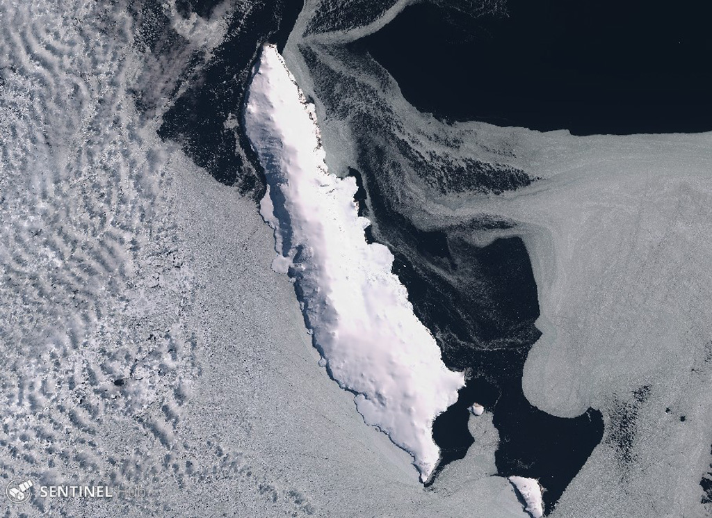
Young Island is the northernmost and second largest of the Balleny Islands off the coast of Antarctica's Victoria Land. Captain Balleny, the discoverer of the islands, reported "smoke" issuing from Freeman Peak on Young Island on 12 February 1839. The island, almost completely mantled by ice, has a broad plateau-like summit reaching 1340 m.
Ringkasan Wikipedia
Ringkasan InggrisYoung Island is the northernmost and westernmost of the three main islands in the uninhabited Balleny Islands group located in the Southern Ocean. It lies 8 kilometres (5.0 mi) northwest of Buckle Island, some 115 kilometres (71 mi) north-northeast of Belousov Point on the Antarctic mainland.
Wikipedia · CC BY-SA · Baca artikel lengkap →
Riwayat letusan
Garis waktu rinci
Tidak ada catatan letusan.
Tautan eksternal
⚠ Untuk referensi saja. Bukan untuk tanggap darurat.