Sodore
Melkassa
Campo vulcanico · Ethiopia · 1765 m
- Tipo
- Campo vulcanico
- Paese
- Ethiopia
- Regione
- Africa orientale / Main Ethiopian Rift Volcanic Province
- Altitudine
- 1765 m
- Coordinate
- 8.430, 39.350
- Ultima eruzione
- Sconosciuto
- Contesto tettonico
- Intraplate / Continental crust (> 25 km)
- Forma vulcanica
- Cluster
- Roccia principale
- Basalt / Picro-Basalt
Sintesi geologica
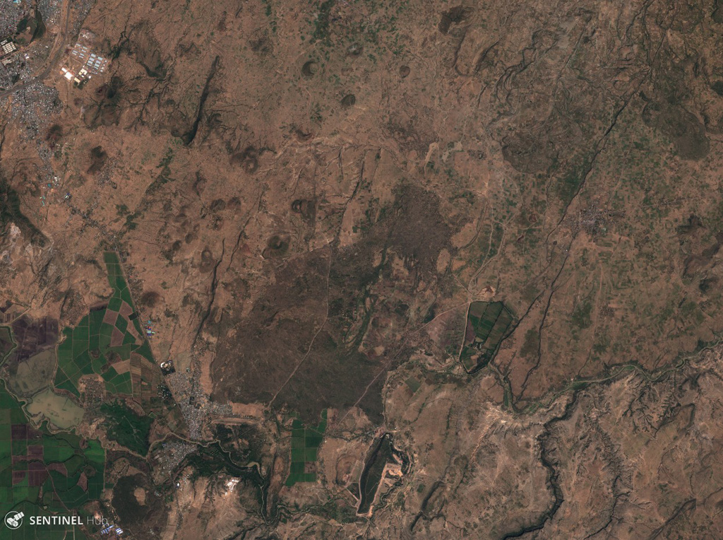
The Melkassa (or Sodore) volcanic field is an extensive 15 x 25 km group of about 30 Pleistocene and Holocene pyroclastic cones and lava flows that covers the floor of the E side of the Ethiopian Rift Valley, around the town of Melkassa, between the Boset volcanic complex and Gedamsa caldera.
Storia delle eruzioni
Cronologia dettagliata
Nessuna registrazione di eruzioni disponibile.
Link esterni
- Non ancora su Wikipedia (Italiano). Puoi contribuire su Wikidata.
- 🔗 Pagina originale Smithsonian GVP
⚠ Solo a scopo informativo. Non adatto a situazioni di emergenza.