East Zway
East Ziway
Frattura eruttiva · Ethiopia · 1889 m
- Tipo
- Frattura eruttiva
- Paese
- Ethiopia
- Regione
- Africa orientale / Main Ethiopian Rift Volcanic Province
- Altitudine
- 1889 m
- Coordinate
- 7.874, 38.902
- Ultima eruzione
- Sconosciuto
- Contesto tettonico
- Rift zone / Continental crust (> 25 km)
- Forma vulcanica
- Cluster
- Roccia principale
- Basalt / Picro-Basalt
Sintesi geologica
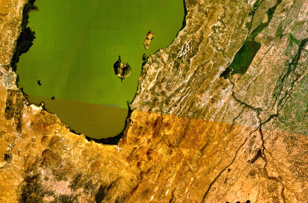
A large area of basaltic cinder cones and lava flows lies within about 5 km of the SE shore of Lake Ziway, and also forms islands along its E shore. About 80 vents were formed along the East Ziway segment of the Wonji Fault Belt. The youngest lava flows have been unaffected by the latest tectonic faulting along the Ethiopian Rift.
Storia delle eruzioni
Cronologia dettagliata
Nessuna registrazione di eruzioni disponibile.
Link esterni
- Non ancora su Wikipedia (Italiano). Puoi contribuire su Wikidata.
- 🔗 Pagina originale Smithsonian GVP
⚠ Solo a scopo informativo. Non adatto a situazioni di emergenza.