Korosi
Vulcano a scudo · Kenya · 1446 m
- Tipo
- Vulcano a scudo
- Paese
- Kenya
- Regione
- Africa orientale / Kenyan Rift Volcanic Province
- Altitudine
- 1446 m
- Coordinate
- 0.770, 36.120
- Ultima eruzione
- Sconosciuto
- Contesto tettonico
- Rift zone / Continental crust (> 25 km)
- Forma vulcanica
- Shield
- Roccia principale
- Trachyte / Trachydacite
Sintesi geologica
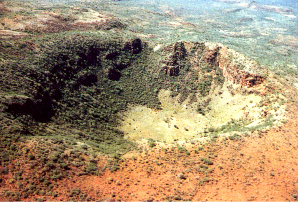
The trachytic Korosi shield volcano lies at the N end of Lake Baringo. Unlike other rift valley volcanoes, it does not contain a summit caldera. Lava domes on the N flanks have fed trachytic lava flows. The major stage of volcanism spanned a period between 0.4 and 0.1 million years ago, and included the eruption of voluminous fluid basaltic lava flows and pyroclastic cone formation along a NNE-trending fissure cutting across the axis of the shield volcano. This was followed by the eruption of trachytic lava domes and pumice/scoria cones. The youngest activity, consisting of fissure-fed basaltic lava flows on the lower N flanks between Korosi and Paka, was probably coeval with the latest eruptions on Ol Kokwe to the S, which are only a few hundred to a few thousand years old (Dunkley et al. 1993). Fumaroles and hot steaming ground occur around the summit cones and NW flanks over an area of 30 km3.
Storia delle eruzioni
Cronologia dettagliata
Nessuna registrazione di eruzioni disponibile.
Link esterni
⚠ Solo a scopo informativo. Non adatto a situazioni di emergenza.