Fort Portal
Fort Portal Volcanic Field
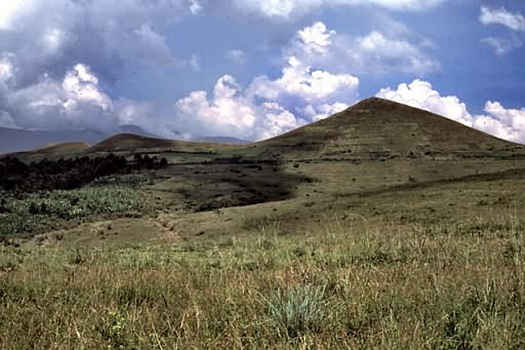
Campo vulcanico · Uganda · 1615 m
- Tipo
- Campo vulcanico
- Paese
- Uganda
- Regione
- Africa orientale / Albertine Rift Volcanic Province
- Altitudine
- 1615 m
- Coordinate
- 0.700, 30.250
- Ultima eruzione
- -2120
- Contesto tettonico
- Rift zone / Continental crust (> 25 km)
- Forma vulcanica
- Cluster
- Roccia principale
- Foidite
Sintesi geologica
The carbonatite lavas and tuffs of the Fort Portal Volcanic Field in Uganda, NE of Mount Ruwenzori between Lake Albert and Lake Edward, consists of a group of tuff cones and maars covering an area of about 145 km2. About 50 volcanic vents, some of which now contain crater lakes, were erupted through Precambrian gneiss in an WSW-ENE-trending area north of the town of Fort Portal. Several additional vents are located in the Kasekere (Rusekere) area to the NE. Radiocarbon dates of about 4,700-4,000 years ago were obtained from ash deposits in the volcanic field. Holmes (1950) noted that Kasensankaranga Crater in the Fort Portal area means "spewer of roasted material," implying observed activity.
Storia delle eruzioni
Cronologia dettagliata
- 2120 a.C. (±100 anni)VEI ?Stima geologicaBCE 2120 – In corso
- 2750 a.C. (±75 anni)VEI ?Stima geologicaBCE 2750 – In corso
Link esterni
- Non ancora su Wikipedia (Italiano). Puoi contribuire su Wikidata.
- 🔗 Pagina originale Smithsonian GVP
⚠ Solo a scopo informativo. Non adatto a situazioni di emergenza.