Harras of Dhamar
Dhamar, Harras of
Campo vulcanico · Yemen · 3500 m
- Tipo
- Campo vulcanico
- Paese
- Yemen
- Regione
- Arabia e Asia centrale / Southwest Arabia Volcanic Province
- Altitudine
- 3500 m
- Coordinate
- 14.570, 44.670
- Ultima eruzione
- Sconosciuto
- Contesto tettonico
- Intraplate / Continental crust (> 25 km)
- Forma vulcanica
- Cluster
- Roccia principale
- Basalt / Picro-Basalt
Sintesi geologica
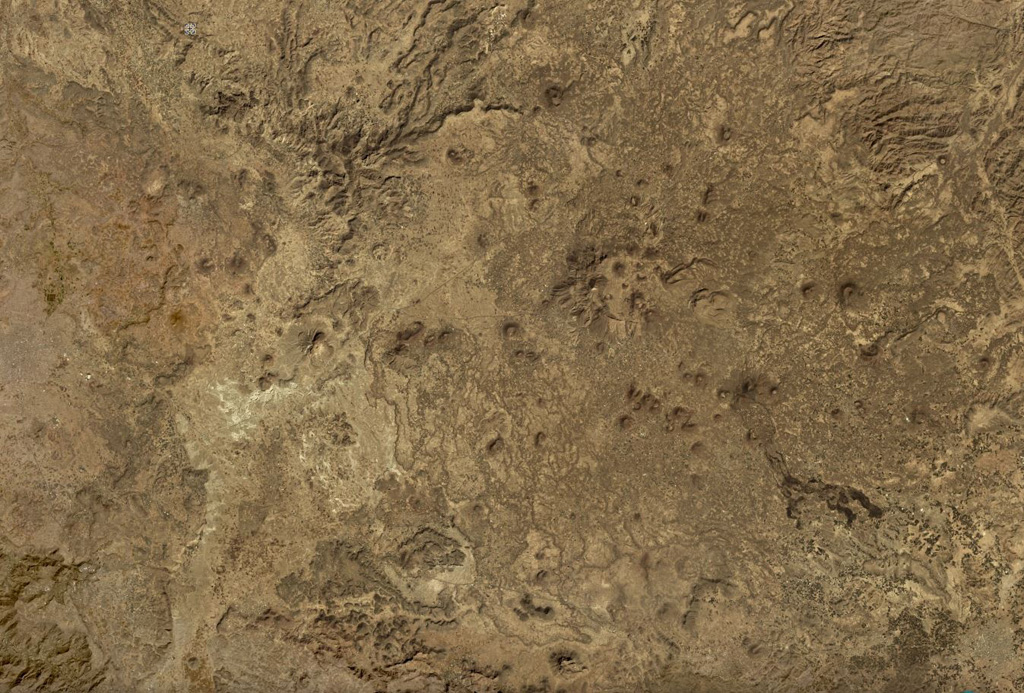
The lava fields surrounding the town of Dhamar are part of a volcanic field extending 80 km E that includes several stratovolcanoes and many youthful volcanic cones. Basaltic lava flows overlie older rhyolitic flows. Residents near Dhamar "spoke of a volcanic eruption that must have taken place in 1937 near the town" (von Wissmann, 1942; Rathjens and von Wissmann, 1942; cited in Neumann van Padang, 1963); this supposed activity has not been confirmed, located, or described by later work.
Storia delle eruzioni
Riepilogo (VEI nel tempo)
Fai clic su una barra per vedere le singole eruzioni
Cronologia dettagliata
- 1937VEI 2Osservata1937-07-02 – In corsoNear the town of Dhamar
Link esterni
⚠ Solo a scopo informativo. Non adatto a situazioni di emergenza.