Harra es-Sawad
Sawad, Harra Es-
Campo vulcanico · Yemen · 1737 m
- Tipo
- Campo vulcanico
- Paese
- Yemen
- Regione
- Arabia e Asia centrale / Southwest Arabia Volcanic Province
- Altitudine
- 1737 m
- Coordinate
- 13.580, 46.120
- Ultima eruzione
- 1253
- Contesto tettonico
- Intraplate / Continental crust (> 25 km)
- Forma vulcanica
- Cluster
- Roccia principale
- Trachybasalt / Tephrite Basanite
Sintesi geologica
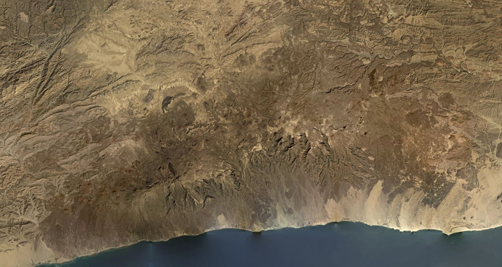
The Harra es-Sawâd (or Shuqra) volcanic field in southern Yemen extends for nearly 100 km along the Gulf of Aden, east of the city of Shuqra (Shaqra). The field is oriented WSW-ENE and contains about a hundred cones that have sent lava flows across a 40 x 95 km area of faulted basement limestones. Most of the volcanic field is Holocene in age (Cox et al., 1977), and in many cases the flows and cones are essentially uneroded. The only recorded event was a major, but poorly documented, eruption in 1253 CE.
Sintesi da Wikipedia
Riassunto in ingleseHarra es-Sawad, or the "Shuqra Volcanic Field", is a large trachybasaltic volcanic field that runs along the Gulf of Aden. Nearby is the city of Shuqrah.
Wikipedia · CC BY-SA · Leggi l'articolo completo →
Storia delle eruzioni
Cronologia dettagliata
- 1253VEI 3Osservata1253 – In corso
Link esterni
⚠ Solo a scopo informativo. Non adatto a situazioni di emergenza.