Vulcano Curacoa
Curacoa
Vulcano complesso · Tonga · 33 m (sottomarino)
- Tipo
- Vulcano complesso
- Paese
- Tonga
- Regione
- Tonga e Kermadec / Tofua Volcanic Arc
- Altitudine
- 33 m (sottomarino)
- Coordinate
- -15.620, -173.670
- Ultima eruzione
- 1979
- Contesto tettonico
- Subduction zone / Oceanic crust (< 15 km)
- Forma vulcanica
- Composite
- Roccia principale
- Dacite
Sintesi geologica
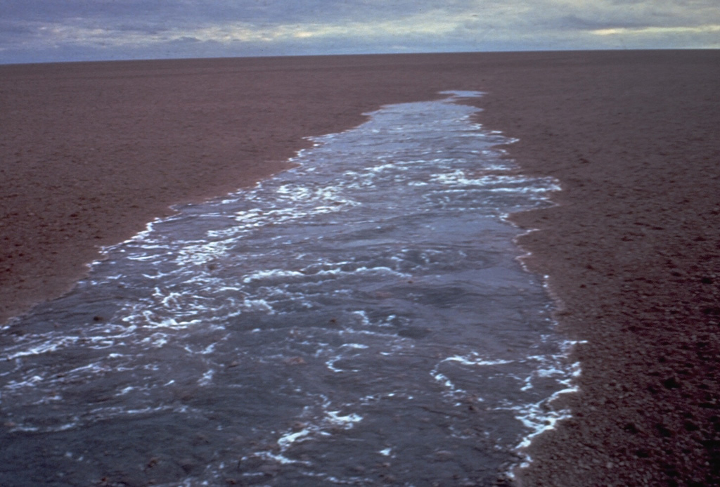
A submarine volcano south of Curacoa Reef at the northern end of the Tofua volcanic arc was first observed in eruption in 1973. Explosive eruptions, which produced large rafts of dacitic pumice, covering an area of more than 100 km2, were observed from the island of Tafahi, 27 km SSW. The eruption site was located about 6.5 km SW of Curacoa Reef. Multiple submarine vents are apparently located in this area; a second eruption was reported in 1979 from a location 13 km N of Tafahi.
Sintesi da Wikipedia
Il Curacoa è un vulcano sottomarino situato 33 metri sotto il livello del mare a sud della barriera corallina di Curacoa nell'arcipelago di Tonga, nell'Oceano Pacifico, presso le isole Niuas. Le prime eruzioni sono state osservate l'11 luglio 1973 e il 14 maggio 1979 da due diversi camini vulcanici. Il primo evento del 1973 produsse una grande quantità di dacite con un indice di esplosività (VEI) pari a 3 e "zattere di pomice" sparse nell'oceano. Nel 1979, invece, dalle acque si innalzò una colonna di fumo e ceneri alta almeno cento metri. Nel 2009 vi si registrò un terremoto di magnitudo 8.1 che, tuttavia, non comportò alcuna eruzione del vulcano.
Wikipedia · CC BY-SA · Leggi l'articolo completo →
Storia delle eruzioni
Cronologia dettagliata
- 1979VEI 1Osservata1979-05-14 – In corso13 km north of Tafahi
- 1973VEI 3Osservata1973-07-11 – 1973-07-166.4 km SW of Curacoa Reef
Link esterni
⚠ Solo a scopo informativo. Non adatto a situazioni di emergenza.