Malintang
Stratovulcano · Indonesia · 1988 m
- Tipo
- Stratovulcano
- Paese
- Indonesia
- Regione
- Sunda e Banda / Sunda Volcanic Arc
- Altitudine
- 1988 m
- Coordinate
- 0.476, 99.663
- Ultima eruzione
- Sconosciuto
- Contesto tettonico
- Subduction zone / Continental crust (> 25 km)
- Forma vulcanica
- Composite
- Roccia principale
- Andesite / Basaltic Andesite
Sintesi geologica
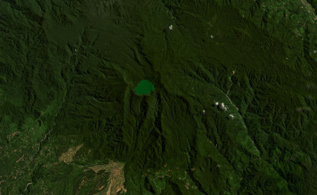
The broad forested Malintang andesitic-to-dacitic stratovolcano has an irregular summit crater with a 900 x 1,500 m lake. The flanks are relatively uneroded, and it most likely has had significant eruptions within the past few thousand years (Kieh, 2009 pers. comm.). The open caldera may be related to emplacement of a large debris avalanche.
Storia delle eruzioni
Cronologia dettagliata
Nessuna registrazione di eruzioni disponibile.
Link esterni
- Non ancora su Wikipedia (Italiano). Puoi contribuire su Wikidata.
- 🔗 Pagina originale Smithsonian GVP
⚠ Solo a scopo informativo. Non adatto a situazioni di emergenza.