Ililabalekan
Stratovulcano · Indonesia · 1018 m
- Tipo
- Stratovulcano
- Paese
- Indonesia
- Regione
- Sunda e Banda / Sunda Volcanic Arc
- Altitudine
- 1018 m
- Coordinate
- -8.550, 123.380
- Ultima eruzione
- Sconosciuto
- Contesto tettonico
- Subduction zone / Crustal thickness unknown
- Forma vulcanica
- Composite
- Roccia principale
- Basalt / Picro-Basalt
Sintesi geologica
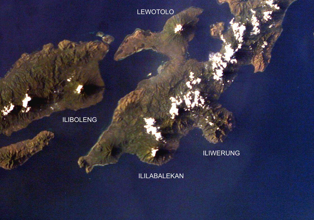
Ililabalekan volcano is situated on a prominent peninsula in SW Lembata (formerly Lomblen) Island. A satellitic cone was constructed on the SE flank of the steep-sided volcano. Four craters, one of which contains a lava dome and two small explosion pits, occur at the summit of Mount Labalekan. No historical eruptions are known from the volcano, although fumaroles are found near its summit.
Storia delle eruzioni
Cronologia dettagliata
Nessuna registrazione di eruzioni disponibile.
Link esterni
⚠ Solo a scopo informativo. Non adatto a situazioni di emergenza.