Vai al contenuto principale

Tobaru

Stratovulcano · Indonesia · 1035 m

The vegetated Tobaru volcano in western North Maluku, Indonesia, is in the center of this November 2019 Planet Labs satellite image monthly mosaic (N is at the top; this image is approximately 12 km across). There is a possible flank collapse scarp on the western flank.
The vegetated Tobaru volcano in western North Maluku, Indonesia, is in the center of this November 2019 Planet Labs satellite image monthly mosaic (N is at the top; this image is approximately 12 km across). There is a possible flank collapse scarp on the western flank. · Foto: Satellite image courtesy of Planet Labs Inc., 2019 (https://www.planet.com/).
Tipo
Stratovulcano
Paese
Indonesia
Regione
Western Pacific Volcanic Regions / Halmahera Volcanic Arc
Altitudine
1035 m
Coordinate
1.630, 127.670
Ultima eruzione
Sconosciuto
Contesto tettonico
Subduction zone / Oceanic crust (< 15 km)
Forma vulcanica
Composite
Roccia principale
Andesite / Basaltic Andesite
Sintesi geologica

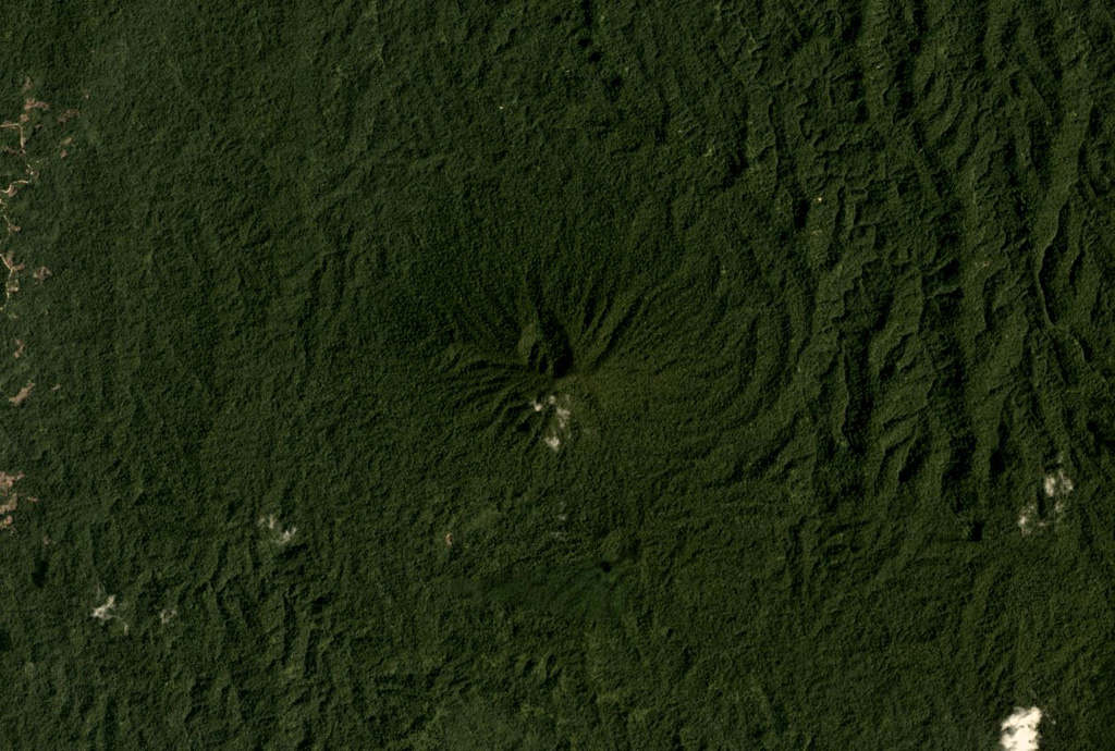
Gunung Tobaru, also known as Lolodai, is located in northern Halmahera WSW of Dukono and NNE of Ibu. Supriatna (1980) mapped the little known andesitic volcano as Holocene.

Sintesi da Wikipedia

Riassunto in inglese

Mount Tobaru or Mount Lolodai is located in the northern part of Halmahera island, west of Dukono volcano. Little is known about this volcano because of its remote location.

Wikipedia · CC BY-SA · Leggi l'articolo completo

Storia delle eruzioni

Cronologia dettagliata

Nessuna registrazione di eruzioni disponibile.

Link esterni

⚠ Solo a scopo informativo. Non adatto a situazioni di emergenza.