Fukue Volcano Group
Fukue
Campo vulcanico · Japan · 315 m
- Tipo
- Campo vulcanico
- Paese
- Japan
- Regione
- Pacifico occidentale / Nankai Volcanic Arc
- Altitudine
- 315 m
- Coordinate
- 32.657, 128.849
- Ultima eruzione
- -400
- Contesto tettonico
- Subduction zone / Continental crust (> 25 km)
- Forma vulcanica
- Cluster
- Roccia principale
- Basalt / Picro-Basalt
Sintesi geologica
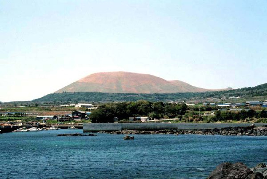
A group of small olivine basaltic shield volcanoes and cinder cones lies at the eastern end of Fukuejima in the Goto Islands off the western coast of Kyushu. Activity at the Fukue volcano group began about 900,000 years ago, and the latest activity took place about 2,000-3,000 years ago (Nakano et al., 2001-). The volcanic field, whose high point is the Onidake cinder cone (about 300 m elevation), forms peninsulas at the E and SE tips of Fukue Island as well as several smaller islands to the SE.
Storia delle eruzioni
Riepilogo (VEI nel tempo)
Fai clic su una barra per vedere le singole eruzioni
Cronologia dettagliata
- 400 a.C.VEI ?Stima geologicaBCE 400 – In corsoHino-take
Link esterni
⚠ Solo a scopo informativo. Non adatto a situazioni di emergenza.