Barkhatnaya
Barkhatnaya Sopka
Campo vulcanico · Russia · 874 m
- Tipo
- Campo vulcanico
- Paese
- Russia
- Regione
- Pacifico nord-occidentale / Kuril Volcanic Arc
- Altitudine
- 874 m
- Coordinate
- 52.802, 158.240
- Ultima eruzione
- -3550
- Contesto tettonico
- Subduction zone / Continental crust (> 25 km)
- Forma vulcanica
- Cluster
- Roccia principale
- Basalt / Picro-Basalt
Sintesi geologica
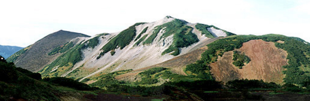
The Barkhatnaya Sopka group of Pleistocene andesitic-to-rhyolitic lava domes and Holocene basaltic pyroclastic cones is located along the Paratunka River about 30 km NNW of Gorely volcano. The cinder cones are sitting on an uplifted block of eroded Miocene-Pliocene rocks. Most of the younger cones lie on the S and SE sides of the volcanic field. The Barkhatnaya cinder cone formed about 3,000-4,000 years ago (Ponomareva, 1992 p.c.).
Storia delle eruzioni
Riepilogo (VEI nel tempo)
Fai clic su una barra per vedere le singole eruzioni
Cronologia dettagliata
- 3550 a.C.VEI ?Stima geologicaBCE 3550 – In corso
Link esterni
⚠ Solo a scopo informativo. Non adatto a situazioni di emergenza.