Arshan
Arxan-Chaihe
Campo vulcanico · China · 1677 m
- Tipo
- Campo vulcanico
- Paese
- China
- Regione
- Asia orientale / Central East Asia Volcanic Province
- Altitudine
- 1677 m
- Coordinate
- 47.450, 120.800
- Ultima eruzione
- 0
- Contesto tettonico
- Intraplate / Continental crust (> 25 km)
- Forma vulcanica
- Cluster
- Roccia principale
- Basalt / Picro-Basalt
Sintesi geologica
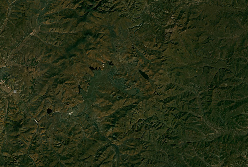
The Arxan-Chaihe Volcanic Field, in the central Da Hinggan Mountains of Inner Mongolia in NE China, contains at least 27 volcanic features. The youngest cones, including Yanshan and Gaoshan, produced basaltic lava flows that blocked drainages of the Halahale River and created six lava-dammed lakes. Radiocarbon dates from scoria deposits document eruptions about 2,000-1,900 years ago. The area has been designated as a National Geopark.
Storia delle eruzioni
Riepilogo (VEI nel tempo)
Fai clic su una barra per vedere le singole eruzioni
Cronologia dettagliata
- 0 (±150 anni)VEI ?Stima geologica0 – In corso
Link esterni
- Non ancora su Wikipedia (Italiano). Puoi contribuire su Wikidata.
- 🔗 Pagina originale Smithsonian GVP
⚠ Solo a scopo informativo. Non adatto a situazioni di emergenza.