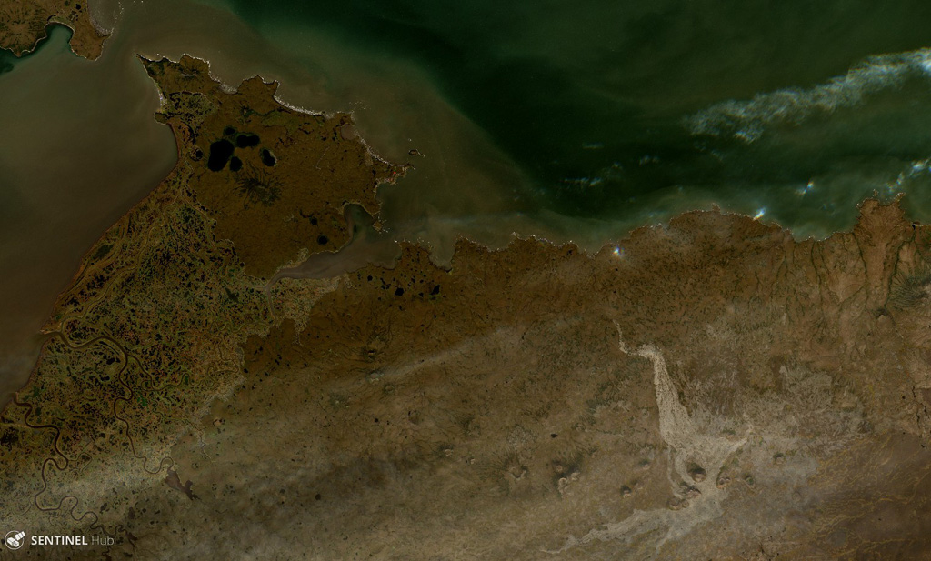
St. Michael volcanic field
St. Michael
Campo vulcanico · United States · 715 m
- Tipo
- Campo vulcanico
- Paese
- United States
- Regione
- Nord America / Northern Alaska-Bering Sea Volcanic Province
- Altitudine
- 715 m
- Coordinate
- 63.450, -162.120
- Ultima eruzione
- Sconosciuto
- Contesto tettonico
- Intraplate / Continental crust (> 25 km)
- Forma vulcanica
- Cluster
- Roccia principale
- Basalt / Picro-Basalt
Sintesi geologica
The St. Michael volcanic field, at the south end of Norton Sound, includes more than 55 cones and craters on St. Michael and Stuart islands. Broad low shield volcanoes underlie the younger cones, and maars are located at the SW part of the field, which covers over 3,000 km2 and extends inland along the Golsovia and Kogok rivers. The youngest activity is of Holocene age, and native tradition says that a village was submerged by lava three times (Dall, 1870).
Sintesi da Wikipedia
Riassunto in ingleseThe St. Michael volcanic field is a volcanic field located on St. Michael and Stuart Islands in western Alaska, United States. It contains 55 cones and craters, including low broad shield volcanoes and maars. It is considered part of the Bering Sea Volcanic Province.
Wikipedia · CC BY-SA · Leggi l'articolo completo →
Storia delle eruzioni
Cronologia dettagliata
Nessuna registrazione di eruzioni disponibile.
Link esterni
⚠ Solo a scopo informativo. Non adatto a situazioni di emergenza.