Bridge River Cones
Campo vulcanico · Canada · 2500 m
- Tipo
- Campo vulcanico
- Paese
- Canada
- Regione
- Nord America / Garibaldi Volcanic Arc
- Altitudine
- 2500 m
- Coordinate
- 50.800, -123.400
- Ultima eruzione
- Sconosciuto
- Contesto tettonico
- Subduction zone / Continental crust (> 25 km)
- Forma vulcanica
- Cluster
- Roccia principale
- Basalt / Picro-Basalt
Sintesi geologica
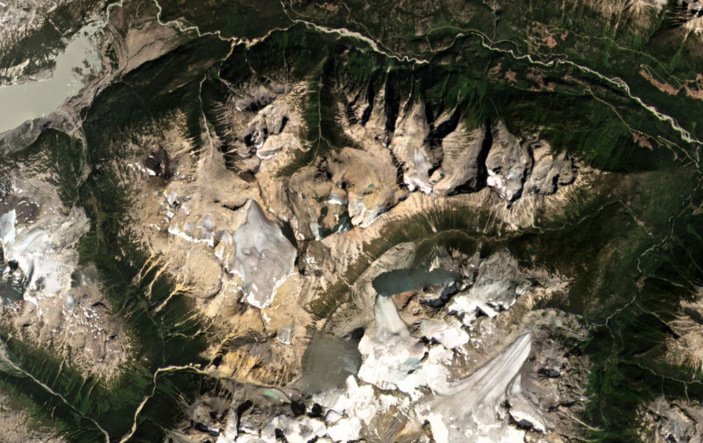
The Bridge River Cones volcanic field consists of a group of small basaltic and trachybasaltic eruptive centers at the extreme northern end of the Garibaldi volcanic belt in SW British Columbia. Pleistocene volcanic necks and cones were Potassium-Argon dated at 0.97 and 0.59 million years ago in the Salal Creek area and display ice-contact features (Lawrence et al., 1984). Tuber Hill is a small subaerial 600,000-year-old basaltic stratovolcano to the N that was constructed on the Bridge River upland when neighboring valleys were filled with ice. Lava flows that overlie poorly consolidated glacial till and appear to post-date the latest glaciation are found immediately N of Bridge River. The youngest flow may be less than 1500 years old (Souther; in Wood and Kienle, 1990).
Sintesi da Wikipedia
Riassunto in ingleseThe Bridge River Cones, sometimes referred to as the Lillooet Cones and Salal Creek Cones, is the name given to a volcanic field located on the north flank of the upper Bridge River, about 40 km (25 mi) west of the town of Gold Bridge. The cones are in the lee of the Lillooet Icecap and sit astride a group of passes between the Bridge River, which flows W-E to their south, and the Lord River, which flows north to the Taseko Lakes in the Chilcotin District.
Wikipedia · CC BY-SA · Leggi l'articolo completo →
Storia delle eruzioni
Cronologia dettagliata
Nessuna registrazione di eruzioni disponibile.
Link esterni
⚠ Solo a scopo informativo. Non adatto a situazioni di emergenza.