Southern EPR-Segment J
Southern EPR at 18.2°S (Segment J)
Frattura eruttiva · Undersea Features · 2650 m (sottomarino)
- Tipo
- Frattura eruttiva
- Paese
- Undersea Features
- Regione
- Pacifico meridionale / Southern East Pacific Rise Volcanic Province
- Altitudine
- 2650 m (sottomarino)
- Coordinate
- -18.175, -113.350
- Ultima eruzione
- 1890
- Contesto tettonico
- Rift zone / Oceanic crust (< 15 km)
- Forma vulcanica
- Cluster
- Roccia principale
- Basalt / Picro-Basalt
Sintesi geologica
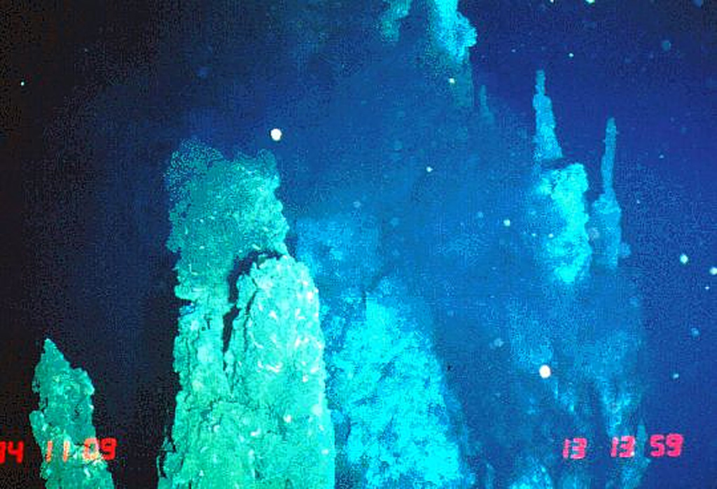
The axial crest of Segment J of the Southern East Pacific Rise consists of an asymmetrical shallow graben varying from 250 to 600 m wide with walls about 20 m high. Horst and graben structures expose cooled lava lakes and both active and extinct hydrothermal chimneys. Basaltic lava flow fields, lava pillars, and pillow mounds are found on the floor of the graben. The largest lava flow field is the Moai lava flow at about 18°12'S. Two lava flows have been dated by paleomagnetic evidence at about 1820 and 1890 CE.
Storia delle eruzioni
Riepilogo (VEI nel tempo)
Fai clic su una barra per vedere le singole eruzioni
Cronologia dettagliata
- 1890VEI 0Stima geologica1890-07-02 – In corso
- 1820VEI 0Stima geologica1820-07-02 – In corso
Link esterni
- Non ancora su Wikipedia (Italiano). Puoi contribuire su Wikidata.
- 🔗 Pagina originale Smithsonian GVP
⚠ Solo a scopo informativo. Non adatto a situazioni di emergenza.