Southern EPR-Segment I
Southern EPR at 18.5°S (Segment I)
Frattura eruttiva · Undersea Features · 2600 m (sottomarino)
- Tipo
- Frattura eruttiva
- Paese
- Undersea Features
- Regione
- Pacifico meridionale / Southern East Pacific Rise Volcanic Province
- Altitudine
- 2600 m (sottomarino)
- Coordinate
- -18.530, -113.420
- Ultima eruzione
- 1915
- Contesto tettonico
- Rift zone / Oceanic crust (< 15 km)
- Forma vulcanica
- Cluster
- Roccia principale
- Basalt / Picro-Basalt
Sintesi geologica
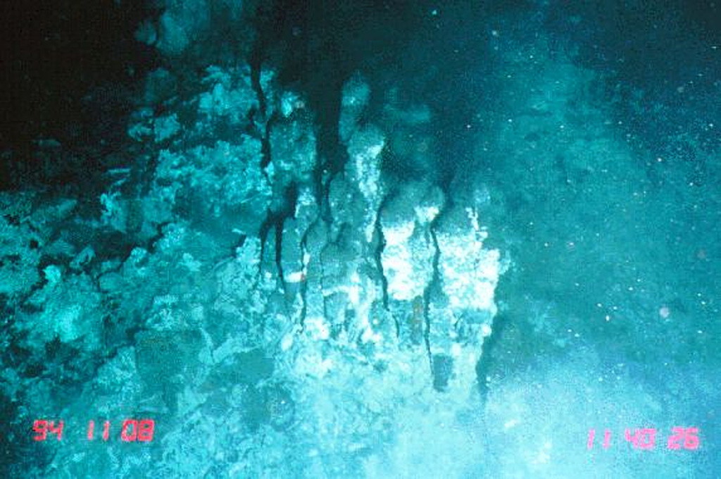
The narrow axial crest of Segment I of the Southern East Pacific Rise in some places is less than 50 m wide. An axial dome is located along the southern part of the segment. The largest lava flow field in this segment is the Animal Farm flow, named after a thriving low-temperature hydrothermal site discovered during a submersible expedition in 1993. The Animal Farm lava flow was dated by magnetic paleointensity measurements at about 1880-1950 CE, and older flows were dated by similar techniques to the 17th and 19th centuries.
Storia delle eruzioni
Riepilogo (VEI nel tempo)
Fai clic su una barra per vedere le singole eruzioni
Cronologia dettagliata
- 1915 (±40 anni)VEI 0Stima geologica1915-07-02 – In corso
- 1860VEI 0Stima geologica1860-07-02 – In corso
- 1620VEI 0Stima geologica1620 – In corso
Link esterni
- Non ancora su Wikipedia (Italiano). Puoi contribuire su Wikidata.
- 🔗 Pagina originale Smithsonian GVP
⚠ Solo a scopo informativo. Non adatto a situazioni di emergenza.