Romeral
Stratovulcano · Colombia · 3769 m
- Tipo
- Stratovulcano
- Paese
- Colombia
- Regione
- Sud America / Northern Andean Volcanic Arc
- Altitudine
- 3769 m
- Coordinate
- 5.203, -75.363
- Ultima eruzione
- -5390
- Contesto tettonico
- Subduction zone / Continental crust (> 25 km)
- Forma vulcanica
- Composite
- Roccia principale
- Andesite / Basaltic Andesite
Sintesi geologica
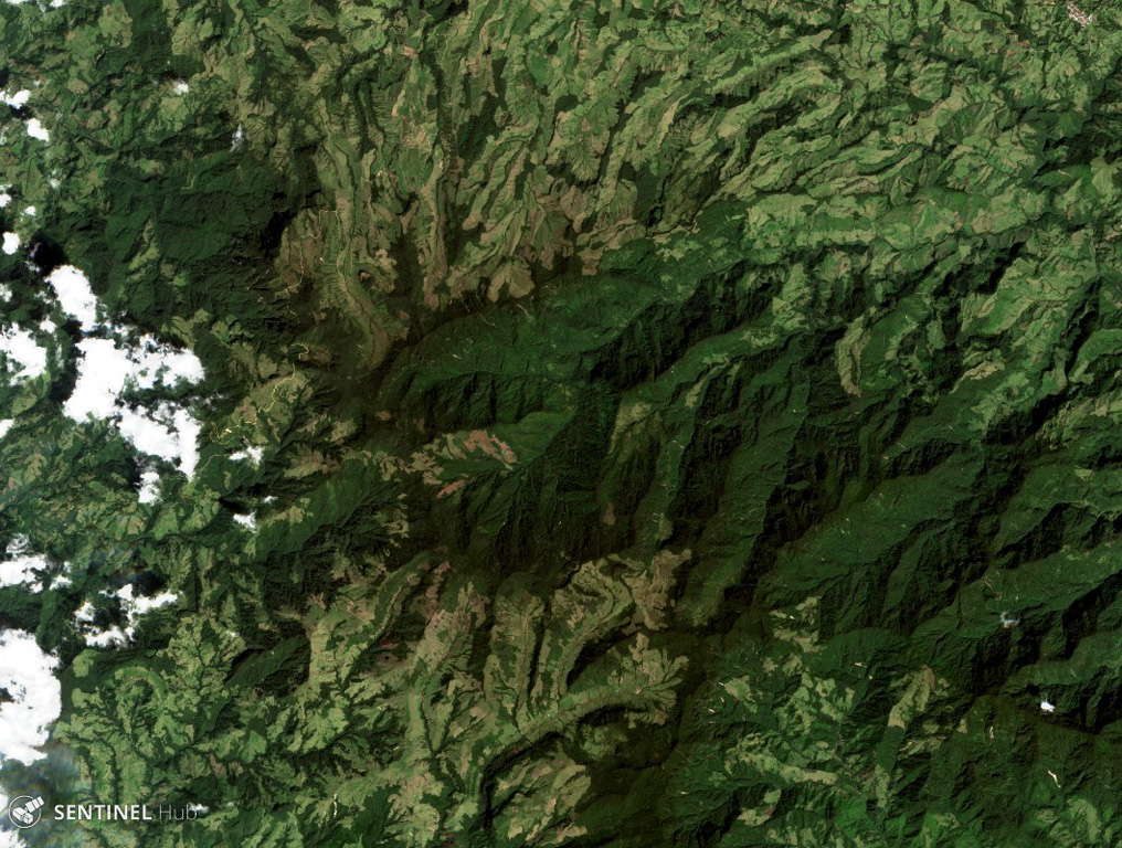
The andesitic-to-dacitic Romeral stratovolcano lies at the northern end of the Ruiz-Tolima volcanic chain, NW of Cerro Bravo volcano, and east of the towns of Neira and Aranzazu. It has produced two young Plinian pumice deposits covering areas to the NW. The pumice deposits are separated by a soil layer radiocarbon dated at about 8,460 and 7,340 years BP.
Sintesi da Wikipedia
Riassunto in ingleseRomeral is a stratovolcano located in Caldas, Colombia. It is the northernmost Holocene volcano of South America, of the North Volcanic Zone in the Andean Volcanic Belt. The volcano was formed in the Late Pliocene, approximately 3 million years ago.
Wikipedia · CC BY-SA · Leggi l'articolo completo →
Storia delle eruzioni
Cronologia dettagliata
- 5390 a.C. (±350 anni)VEI 4Stima geologicaBCE 5390 – In corso
- 6510 a.C. (±200 anni)VEI 4Stima geologicaBCE 6510 – In corso
Link esterni
⚠ Solo a scopo informativo. Non adatto a situazioni di emergenza.