Fueguino
Duomo di lava · Chile · 157 m
- Tipo
- Duomo di lava
- Paese
- Chile
- Regione
- Sud America / Austral Andean Volcanic Arc
- Altitudine
- 157 m
- Coordinate
- -54.970, -70.262
- Ultima eruzione
- 1820
- Contesto tettonico
- Subduction zone / Continental crust (> 25 km)
- Forma vulcanica
- Minor (Silicic)
- Roccia principale
- Andesite / Basaltic Andesite
Sintesi geologica
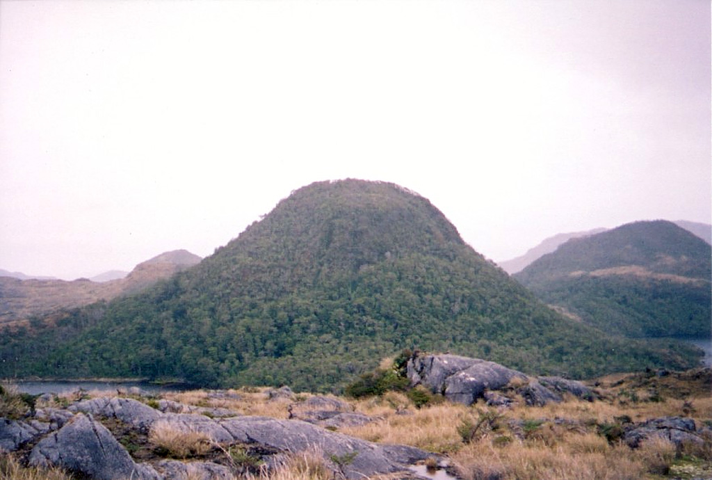
A group of andesitic, columnar-jointed lava domes and pyroclastic cones up to 150 m high on Isla Cook mark the southernmost Holocene volcanoes of the Andes. The volcanoes, known as Volcán Cook or Volcán Fueguino, occupy a broad peninsula forming the SE end of the island. One of the cones, S of Bahía del Volcán, contains a 150-m-wide crater with a small lake. The lava domes and pyroclastic cones, possibly emplaced along N-S-trending faults, are unaffected by glacial erosion that scoured the underlying plutonic rocks. Passing navigators observed possible eruptive activity in the direction of Cook in 1712 and the eruption of incandescent ejecta in 1820.
Sintesi da Wikipedia
Riassunto in ingleseFueguino is a volcanic field in Chile. The southernmost volcano in the Andes, it lies on Tierra del Fuego's Cook Island and also extends over nearby Londonderry Island. The field is formed by lava domes, pyroclastic cones, and a crater lake.
Wikipedia · CC BY-SA · Leggi l'articolo completo →
Storia delle eruzioni
Cronologia dettagliata
- 1820VEI 2Osservata1820-11-25 – 1820-11-26
- 1712VEI ?Stima geologica1712-11-26 – In corso
Link esterni
⚠ Solo a scopo informativo. Non adatto a situazioni di emergenza.