Isola Young
Young Island
Stratovulcano · Antarctica · 1340 m
- Tipo
- Stratovulcano
- Paese
- Antarctica
- Regione
- Antartide e Scotia / Balleny Hotspot Volcano Group
- Altitudine
- 1340 m
- Coordinate
- -66.420, 162.470
- Ultima eruzione
- Sconosciuto
- Contesto tettonico
- Rift zone / Oceanic crust (< 15 km)
- Forma vulcanica
- Composite
- Roccia principale
- Trachybasalt / Tephrite Basanite
Sintesi geologica
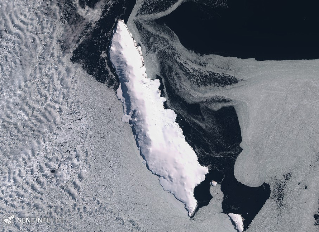
Young Island is the northernmost and second largest of the Balleny Islands off the coast of Antarctica's Victoria Land. Captain Balleny, the discoverer of the islands, reported "smoke" issuing from Freeman Peak on Young Island on 12 February 1839. The island, almost completely mantled by ice, has a broad plateau-like summit reaching 1340 m.
Sintesi da Wikipedia
Isola Young è la più settentrionale e più occidentale delle tre isole principali del gruppo disabitato delle Isole Balleny situate nell'Oceano Antartico. Si trova a 8 chilometri a nord-ovest dell’Isola Buckle e circa 115 chilometri a nord/nord-est di Punto Belousov sulla terraferma antartica.
Wikipedia · CC BY-SA · Leggi l'articolo completo →
Storia delle eruzioni
Cronologia dettagliata
Nessuna registrazione di eruzioni disponibile.
Link esterni
⚠ Solo a scopo informativo. Non adatto a situazioni di emergenza.