Isola Sturge
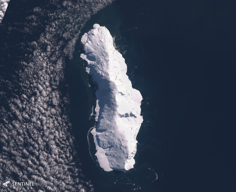
Sturge Island
Stratovulcano · Antarctica · 1167 m
- Tipo
- Stratovulcano
- Paese
- Antarctica
- Regione
- Antartide e Scotia / Balleny Hotspot Volcano Group
- Altitudine
- 1167 m
- Coordinate
- -67.400, 164.830
- Ultima eruzione
- Sconosciuto
- Contesto tettonico
- Rift zone / Oceanic crust (< 15 km)
- Forma vulcanica
- Composite
- Roccia principale
- Trachybasalt / Tephrite Basanite
Sintesi geologica
Sturge is the largest and southernmost of the Balleny Islands, which are located just off the coast of Antarctica's Victoria Land. The 44-km-long island is completely mantled by an icecap and has a prominent summit, Russel Peak, at the northern end. "Volcanic activity" was reported on a U.S. Navy chart, but no indications of present or past activity were noted in 1959 (Catalog of Active Volcanoes of the World). No detailed geologic studies have been conducted in the inaccessible Balleny Islands.
Sintesi da Wikipedia
L'Isola Sturge è una delle tre isole principali del gruppo disabitato delle Isole Balleny situato nell'Oceano Antartico. Si trova a 25 km a sud-est dell'Isola Buckle e a 95 km a nord-est del Pumto Belousov sulla terraferma antartica. L'isola fa parte della dipendenza di Ross, rivendicata dalla Nuova Zelanda.
Wikipedia · CC BY-SA · Leggi l'articolo completo →
Storia delle eruzioni
Cronologia dettagliata
Nessuna registrazione di eruzioni disponibile.
Link esterni
⚠ Solo a scopo informativo. Non adatto a situazioni di emergenza.