Dofan
Dofen
楯状火山 · Ethiopia · 1151m
- タイプ
- 楯状火山
- 国
- Ethiopia
- 地域
- 東アフリカ / Main Ethiopian Rift Volcanic Province
- 標高
- 1151m
- 座標
- 9.350, 40.130
- 最終噴火
- 不明
- テクトニクス環境
- Rift zone / Continental crust (> 25 km)
- 火山地形
- Shield
- 主要岩石
- Rhyolite
地質学的概要
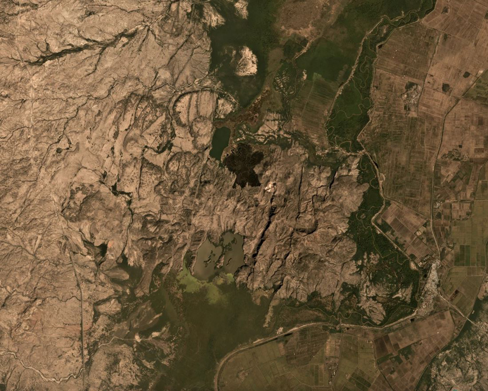
The Dofen shield volcano rises 450 m above the Awash plain in the northern Main Ethiopian Rift. Numerous cinder cones, constructed along a 10-km-long, N-S-trending line, occur on the flanks of the dominantly rhyolitic volcano. The northern cones are younger, have well-preserved morphologies, and display strong fumarolic activity. A major fumarole in a wide S-flank crater has precipitated large amounts of sulfur. The latest eruptions occurred during the Holocene (WoldeGabriel 1987, pers. comm.), and it is known as the "smoking mountain".
噴火履歴
詳細タイムライン
噴火記録はありません。
外部リンク
⚠ 参考情報です。緊急対応には使用しないでください。