Kyejo
成層火山 · Tanzania · 2176m
- タイプ
- 成層火山
- 国
- Tanzania
- 地域
- 東アフリカ / Rukwa Rift Volcanic Province
- 標高
- 2176m
- 座標
- -9.229, 33.792
- 最終噴火
- 1800年
- テクトニクス環境
- Rift zone / Continental crust (> 25 km)
- 火山地形
- Composite
- 主要岩石
- Trachyte / Trachydacite
地質学的概要
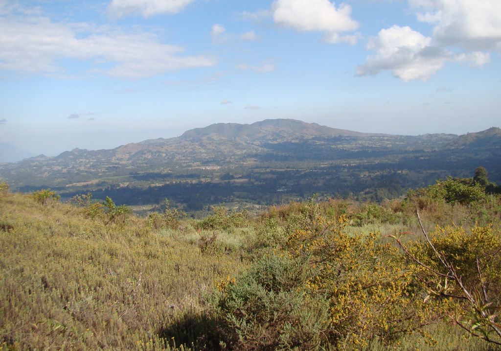
Late-stage activity of the Kyejo (Kieyo) trachytic stratovolcano, NW of Lake Malawi (Lake Nyassa), consisted of the formation of numerous maars and cinder cones. This stratovolcano is elongated in a NW-SE direction and has been active since the mid-Pleistocene. Maars, some of which contain lakes, surround the area, and young basaltic cinder cones and lava flows cover an extensive area to the south. The latest eruption around 1800 CE took place from two tephritic cones, Sarabwe and Fiteko, that were constructed along a NW-trending fissure. The eruption produced lava flows that traveled 8 km and overran several villages.
Wikipedia の要約
英語版の要約Kyejo is an active stratovolcano in the Rukwa Rift Basin of Tanzania. It is located northwest of Lake Malawi. Eruptions at Kyejo are typically effusive although some moderately-sized explosions occur at its summit. Its numerous parasitic cones, a combination of spatter and cinder cones, are mostly distributed along its southern flanks. Volcanic activity in the area initiated during the mid-Pleistocene. Its last eruption was dated to around 1800 and is the only historically documented eruption on Kyejo. This eruption occrred at the Sarabwe and Fiteko parasitic cones along a northwest trending fissure at its northwestern slope. The three-day eruption produced lava flows that travelled 8 km (5.0 mi).
Wikipedia · CC BY-SA · 記事全文を読む →
噴火履歴
詳細タイムライン
- 1800年VEI 2観測記録1800-07-02 ~ 進行中Sarabwe and Fiteko
外部リンク
⚠ 参考情報です。緊急対応には使用しないでください。