Fort Portal
Fort Portal Volcanic Field
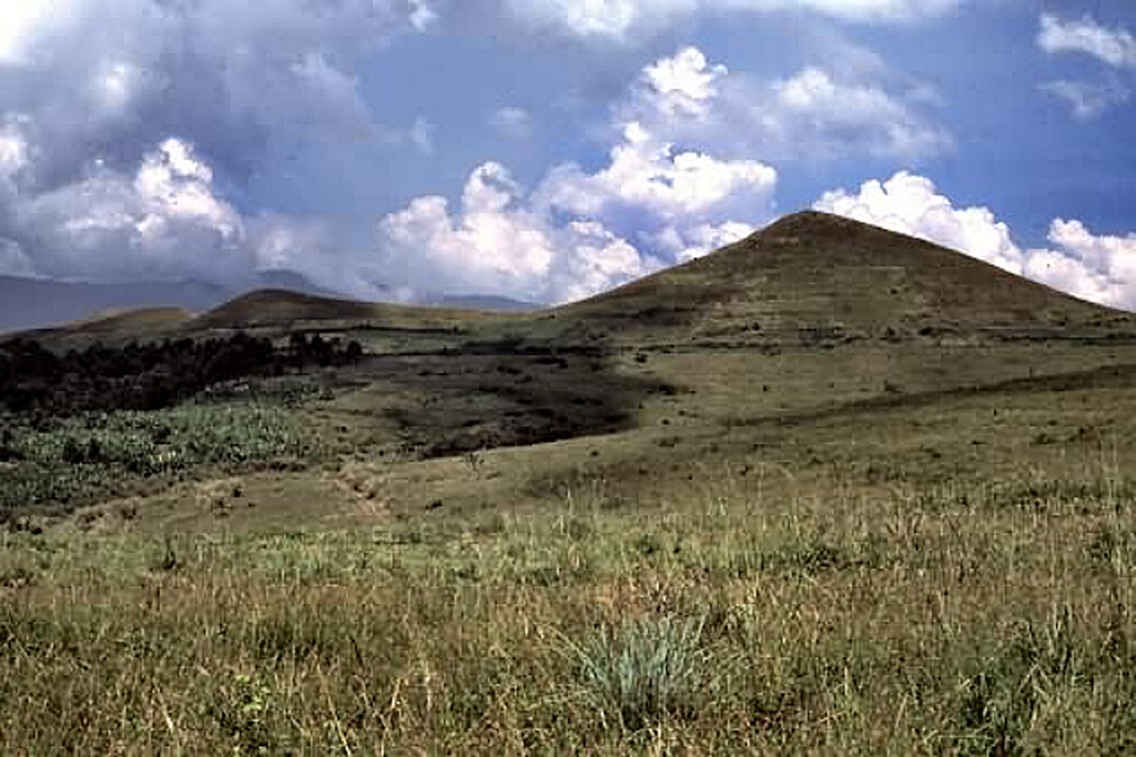
火山原 · Uganda · 1615m
- タイプ
- 火山原
- 国
- Uganda
- 地域
- 東アフリカ / Albertine Rift Volcanic Province
- 標高
- 1615m
- 座標
- 0.700, 30.250
- 最終噴火
- -2120年
- テクトニクス環境
- Rift zone / Continental crust (> 25 km)
- 火山地形
- Cluster
- 主要岩石
- Foidite
地質学的概要
The carbonatite lavas and tuffs of the Fort Portal Volcanic Field in Uganda, NE of Mount Ruwenzori between Lake Albert and Lake Edward, consists of a group of tuff cones and maars covering an area of about 145 km2. About 50 volcanic vents, some of which now contain crater lakes, were erupted through Precambrian gneiss in an WSW-ENE-trending area north of the town of Fort Portal. Several additional vents are located in the Kasekere (Rusekere) area to the NE. Radiocarbon dates of about 4,700-4,000 years ago were obtained from ash deposits in the volcanic field. Holmes (1950) noted that Kasensankaranga Crater in the Fort Portal area means "spewer of roasted material," implying observed activity.
噴火履歴
詳細タイムライン
- 紀元前 2120年 (±100年)VEI ?地質学的推定BCE 2120 ~ 進行中
- 紀元前 2750年 (±75年)VEI ?地質学的推定BCE 2750 ~ 進行中
外部リンク
- 日本語版Wikipediaには未登録です。Wikidataで作成できます。
- 🔗 Smithsonian GVP 原典ページ
⚠ 参考情報です。緊急対応には使用しないでください。