本文へスキップ
地図に戻る
比較

Harras of Dhamar

Dhamar, Harras of

火山原 · Yemen · 3500m

The Harras of Dhamar volcanic field is shown in this December 2019 Planet Labs satellite image monthly mosaic (N is at the top; this image is approximately 51 km across). The field contains many scoria cones and associated lava flows, with some older obsidian lava flows. Many of the cones have amphitheater-shaped craters due to flank collapse or rafting.
The Harras of Dhamar volcanic field is shown in this December 2019 Planet Labs satellite image monthly mosaic (N is at the top; this image is approximately 51 km across). The field contains many scoria cones and associated lava flows, with some older obsidian lava flows. Many of the cones have amphitheater-shaped craters due to flank collapse or rafting. · 写真: Satellite image courtesy of Planet Labs Inc., 2019 (https://www.planet.com/).
タイプ
火山原
Yemen
地域
Arabia-Central Asia Volcanic Regions / Southwest Arabia Volcanic Province
標高
3500m
座標
14.570, 44.670
最終噴火
不明
テクトニクス環境
Intraplate / Continental crust (> 25 km)
火山地形
Cluster
主要岩石
Basalt / Picro-Basalt
地質学的概要

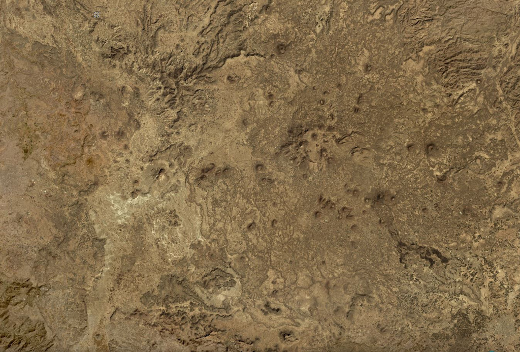
The lava fields surrounding the town of Dhamar are part of a volcanic field extending 80 km E that includes several stratovolcanoes and many youthful volcanic cones. Basaltic lava flows overlie older rhyolitic flows. Residents near Dhamar "spoke of a volcanic eruption that must have taken place in 1937 near the town" (von Wissmann, 1942; Rathjens and von Wissmann, 1942; cited in Neumann van Padang, 1963); this supposed activity has not been confirmed, located, or described by later work.

Wikipedia の要約

英語版の要約

要約が短いです。詳細は記事全文をご覧ください。

The Harras of Dhamar is a volcanic field in Yemen.

Wikipedia · CC BY-SA · 記事全文を読む

噴火履歴

概要 (VEI時系列)
バーをクリックすると個別の噴火が表示されます
1937~1937 · 1件 · 最大 VEI 219371937193819381938

詳細タイムライン

  1. 1937年VEI 2観測記録
    1937 ~ 進行中
    Near the town of Dhamar

外部リンク

⚠ 参考情報です。緊急対応には使用しないでください。