モーソン・ピーク
Heard
成層火山 · Australia · 2745m
- タイプ
- 成層火山
- 国
- Australia
- 地域
- ソマリア・南極 / Kerguelen Hotspot Volcano Group
- 標高
- 2745m
- 座標
- -53.106, 73.513
- 最終噴火
- 2026年
- テクトニクス環境
- Intraplate / Oceanic crust (< 15 km)
- 火山地形
- Composite
- 主要岩石
- Trachybasalt / Tephrite Basanite
地質学的概要
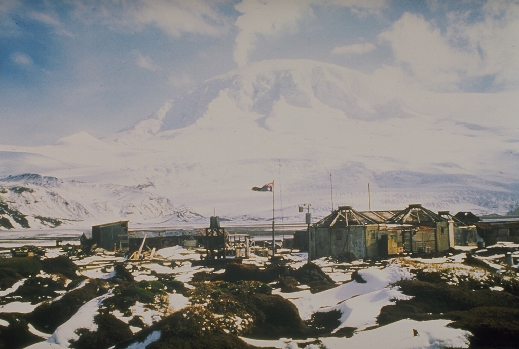
Heard Island on the Kerguelen Plateau in the southern Indian Ocean consists primarily of the emergent portion of two volcanic structures. The large glacier-covered composite basaltic-to-trachytic cone of Big Ben comprises most of the island, and the smaller Mt. Dixon lies at the NW tip of the island across a narrow isthmus. Little is known about the structure of Big Ben because of its extensive ice cover. The active Mawson Peak forms the island's high point and lies within a 5-6 km wide caldera breached to the SW side of Big Ben. Small satellitic scoria cones are mostly located on the northern coast. Several subglacial eruptions have been reported at this isolated volcano, but observations are infrequent and additional activity may have occurred.
Wikipedia の要約
モーソン・ピーク は、南極海に位置するオーストラリア領ハード島の山。標高2745mの同国最高峰だが、オーストラリア南極領土のマックリントック山 (3490m) よりは低い。ビッグ・ベン山塊の主峰をなす、活発な複合火山である。
Wikipedia · CC BY-SA · 記事全文を読む →
噴火履歴
詳細タイムライン
- 2012年VEI 0観測記録2012-09-05 ~ 2026-03-16Mawson Peak
- 2006年VEI 0観測記録2006-03-11 ~ 2008-03-03Mawson Peak
- 2003年VEI 0観測記録2003-06-09 ~ 2004-06-14Mawson Peak
- 2000年VEI 2観測記録2000-03-07 ~ 2001-02-16Mawson Peak and upper south flank
- 1993年VEI 2観測記録1993-01-02 ~ 進行中Mawson Peak
- 1992年VEI ?地質学的推定1992-01-17 ~ 1992-01-18Mawson Peak
- 1992年VEI 0観測記録1992-05-29 ~ 進行中Mawson Peak
- 1985年VEI 2観測記録1985-01-14 ~ 1987-01-16Mawson Peak
- 1954年VEI 2観測記録1954-04-13 ~ 1954-06-13Mawson Peak
- 1953年VEI 2観測記録1953-08-20 ~ 1953-11-18Mawson Peak
- 1950年VEI 2観測記録1950-01-24 ~ 1952-03-12Mawson Peak
- 1910年VEI 2観測記録1910-03-16 ~ 1910-04-16Mawson Peak
- 1881年VEI 2地質学的推定1881-06-02 ~ 進行中
外部リンク
⚠ 参考情報です。緊急対応には使用しないでください。