St. Andrew Strait
複成火山 · Papua New Guinea · 270m
- タイプ
- 複成火山
- 国
- Papua New Guinea
- 地域
- 南西太平洋 / Bismarck Sea Volcanic Province
- 標高
- 270m
- 座標
- -2.380, 147.350
- 最終噴火
- 1957年
- テクトニクス環境
- Subduction zone / Oceanic crust (< 15 km)
- 火山地形
- Composite
- 主要岩石
- Rhyolite
地質学的概要
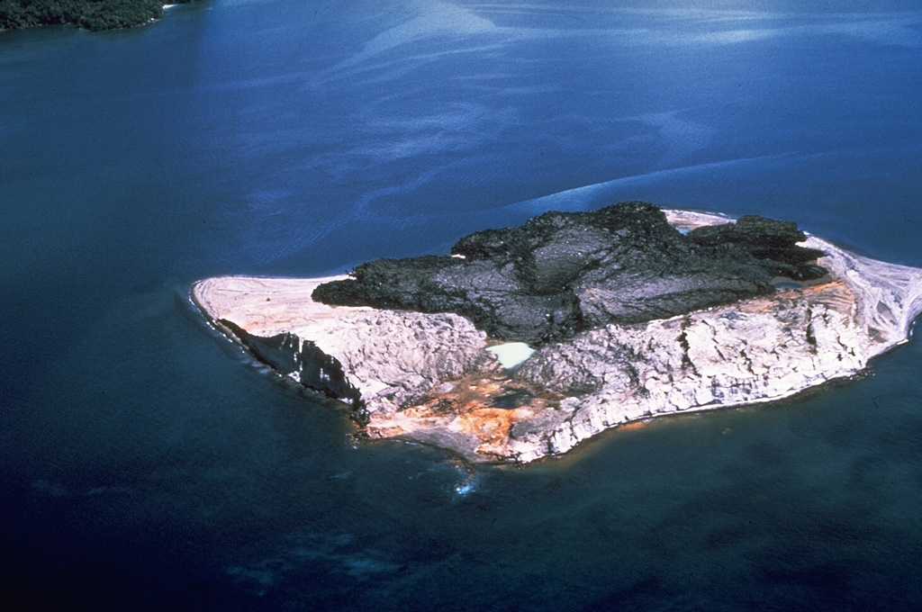
The St. Andrew Strait volcano, located in the Admiralty Islands north of Papua New Guinea, consists of a series of overlapping Quaternary cones formed by rhyolitic lava flows and pyroclastic materials on Lou and Tuluman Islands. Volcanism is aligned on a curved arc extending through the 12-km-long Lou Island. The Tuluman Islands, 1.5 km S of Lou Island, were formed during a 1953-1957 eruption. Pam Lin and Pam Mandian Islands farther to the SE along the same arc contain fresh rhyolitic obsidian similar to that found on Tuluman.
噴火履歴
概要 (VEI時系列)
バーをクリックすると個別の噴火が表示されます
詳細タイムライン
- 1953年VEI 2観測記録1953-06-27 ~ 1957-01-28Tuluman
- 1931年VEI 0地質学的推定1931-07-02 ~ 進行中Tuluman (?)
- 1883年VEI 2観測記録1883-03-28 ~ 進行中Tuluman
- 350年VEI ?地質学的推定350 ~ 進行中Lou Island (Bedal volcano)
- 紀元前 240年 (±100年)VEI ?地質学的推定BCE 240 ~ 進行中Lou Island (Bedal volcano)
外部リンク
⚠ 参考情報です。緊急対応には使用しないでください。