パトゥハ山
Patuha
成層火山 · Indonesia · 2422m
- タイプ
- 成層火山
- 国
- Indonesia
- 地域
- スンダ・バンダ / Sunda Volcanic Arc
- 標高
- 2422m
- 座標
- -7.162, 107.400
- 最終噴火
- 不明
- テクトニクス環境
- Subduction zone / Continental crust (> 25 km)
- 火山地形
- Composite
- 主要岩石
- Andesite / Basaltic Andesite
地質学的概要
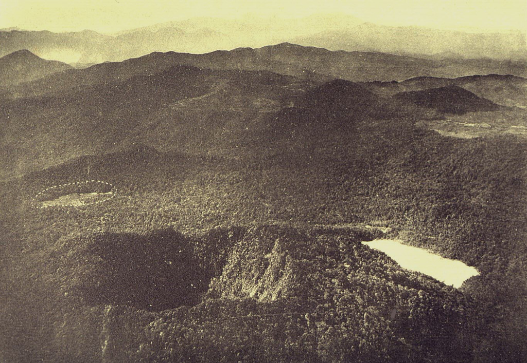
The forested andesitic Gunung Patuha rises SW of the plain of Bandung in western Java. Patuha is the northern peak of a roughly 5-km-long N-S volcanic massif, and has a 300 m crater at the summit. A few hundred meters down the SE flank is a 400 x 500 m crater almost completely filled with a shallow greenish lake, Kawah Putih. Sulfur deposits are present around the shoreline and near active fumaroles on the crater walls. A large debris-avalanche deposit extends down the NE flank. The volcano was formed during the late Pleistocene, but no Holocene eruptions are known.
噴火履歴
詳細タイムライン
噴火記録はありません。
外部リンク
⚠ 参考情報です。緊急対応には使用しないでください。