Kostakan
火砕丘 · Russia · 1150m
- タイプ
- 火砕丘
- 国
- Russia
- 地域
- 北西太平洋 / Eastern Kamchatka Volcanic Arc
- 標高
- 1150m
- 座標
- 53.833, 158.052
- 最終噴火
- 1350年
- テクトニクス環境
- Subduction zone / Continental crust (> 25 km)
- 火山地形
- Minor (Basaltic)
- 主要岩石
- Basalt / Picro-Basalt
地質学的概要
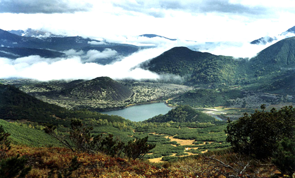
A group of basaltic cinder cones lies south of Bakening volcano, west of the Srednaya Avacha (Middle Avacha) river valley. They are part of a broad zone of regional late Pleistocene to Holocene basaltic volcanism west of the Eastern volcanic zone of Kamchatka that extends from the Kostakan Lake area to the south. Several of the cinder cones are breached by lava flows, some of which extend into the Srednaya Avacha valley. The highest-elevation vent, Zmeya crater, was constructed within a landslide scarp. An unnamed maar is located about 2 km S of Kostakan Lake. Eruptions have occurred during two time periods, between about 11,000 to 7,000 years ago and between about 1,200 and 600 years ago.
Wikipedia の要約
英語版の要約Kostakan is a north-south trending chain of cinder cones located in the southern part of the Kamchatka Peninsula, Russia.
Wikipedia · CC BY-SA · 記事全文を読む →
噴火履歴
詳細タイムライン
- 1350年VEI 1地質学的推定1350 ~ 進行中Glavny
- 1200年 (±50年)VEI 2地質学的推定1200 ~ 進行中Glavny
- 1000年 (±50年)VEI 3地質学的推定1000 ~ 進行中Serpovidny
- 800年 (±50年)VEI 3地質学的推定800 ~ 進行中Maar S of Lake Kostakan, Krasny cone
- 紀元前 6550年 (±500年)VEI 3地質学的推定BCE 6550 ~ 進行中Ochkovy
- 紀元前 8050年 (±1000年)VEI 3地質学的推定BCE 8050 ~ 進行中Domashnii
外部リンク
⚠ 参考情報です。緊急対応には使用しないでください。