Sedankinsky
Sedanka Lava Field
火山原 · Russia · 1399m
- タイプ
- 火山原
- 国
- Russia
- 地域
- 北西太平洋 / Central Kamchatka Volcanic Arc
- 標高
- 1399m
- 座標
- 57.317, 160.067
- 最終噴火
- -7050年
- テクトニクス環境
- Subduction zone / Continental crust (> 25 km)
- 火山地形
- Cluster
- 主要岩石
- Basalt / Picro-Basalt
地質学的概要
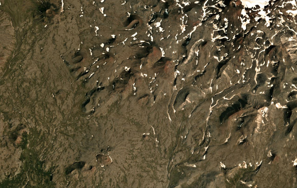
The Sedanka lava field (Sedanka Dol) is located immediately west of the Sredinny Range axis and is formed by dominantly mafic lavas from small strato- and shield-like volcanoes, along with more than 100 cinder and lava cones of the late Pleistocene-Holocene age. For this compilation the volcanic field area is considered to be up to 10 km wide and stretching about 25 km from south of Gorny Institute volcano towards the NNW between Tuzovsky volcano to the SW and Titila to the NE. Other workers (eg. Nekrylov et al., 2015) define the field to include the eight large edifices from Terpuk on the SW to Shishel on the NE.
噴火履歴
概要 (VEI時系列)
バーをクリックすると個別の噴火が表示されます
詳細タイムライン
- 紀元前 7050年 (±1000年)VEI ?地質学的推定BCE 7050 ~ 進行中
外部リンク
- 日本語版Wikipediaには未登録です。Wikidataで作成できます。
- 🔗 Smithsonian GVP 原典ページ
⚠ 参考情報です。緊急対応には使用しないでください。