Stepovak Bay Group
火山原 · United States · 1633m
- タイプ
- 火山原
- 国
- United States
- 地域
- 北アメリカ / Aleutian Ridge Volcanic Arc
- 標高
- 1633m
- 座標
- 55.917, -160.017
- 最終噴火
- 不明
- テクトニクス環境
- Subduction zone / Continental crust (> 25 km)
- 火山地形
- Cluster
地質学的概要
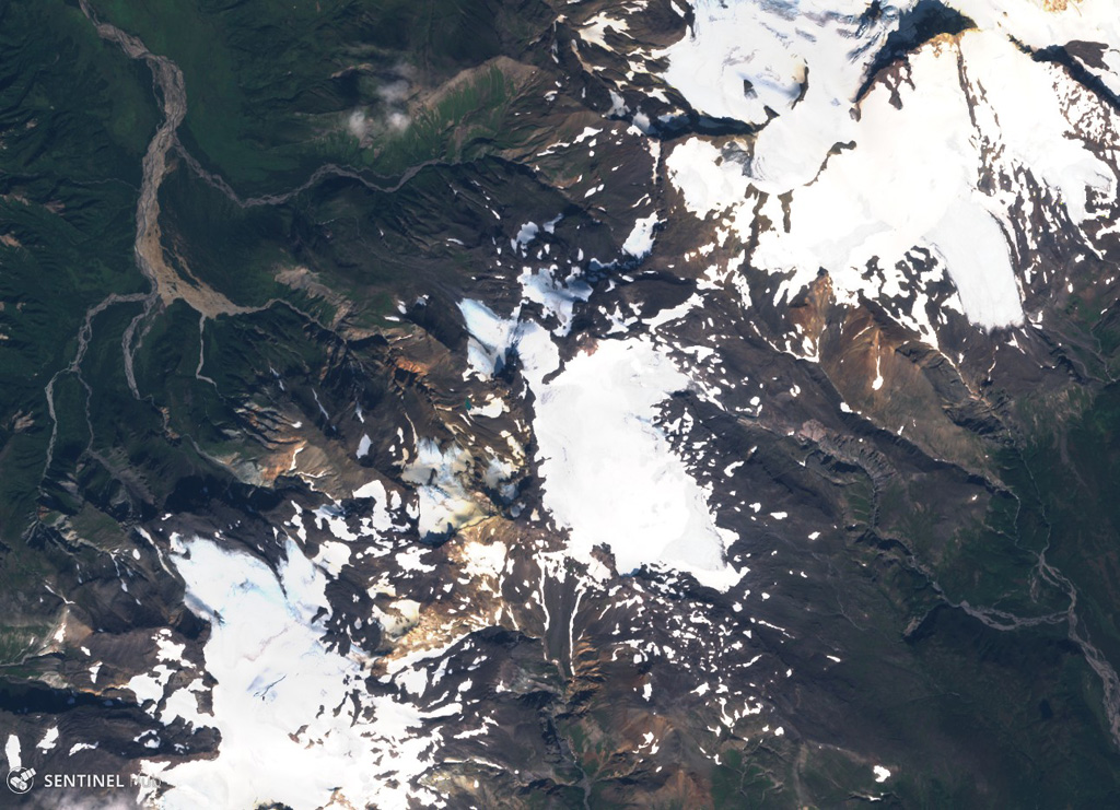
The Stepovak Bay Group is a chain of four cones, extending over a distance of 18 km, just SW of Kupreanof volcano. Stepovak Bay 2 is a cinder cone with a Holocene andesitic lava flow extending initially to the NE, then SE. The Stepovak Bay 3 cinder cone has a thick Holocene lava flow that originated from an ice-filled 300-m-wide crater and entered the same valley as the lava flow from Stepovak Bay 2 (Wilson, 1989); however, Wilson (in Wood and Kienle, 1990) noted uncertainty about this being Holocene activity. Stepovak Bay 4 is a small stratovolcano with Holocene debris flows or block-and-ash flows, and a fumarole has been observed. Stepovak Bay 1, the southwesternmost of the chain is Pleistocene, with K-Ar dates of about 0.53 and 0.4 million years (Wilson, 1989).
噴火履歴
詳細タイムライン
噴火記録はありません。
外部リンク
- 日本語版Wikipediaには未登録です。Wikidataで作成できます。
- 🔗 Smithsonian GVP 原典ページ
⚠ 参考情報です。緊急対応には使用しないでください。