Atlin Volcanic Field
火砕丘 · Canada · 1880m
- タイプ
- 火砕丘
- 国
- Canada
- 地域
- 北アメリカ / Northern Cordilleran Volcanic Province
- 標高
- 1880m
- 座標
- 59.708, -133.358
- 最終噴火
- 不明
- テクトニクス環境
- Intraplate / Continental crust (> 25 km)
- 火山地形
- Cluster
- 主要岩石
- Trachybasalt / Tephrite Basanite
地質学的概要
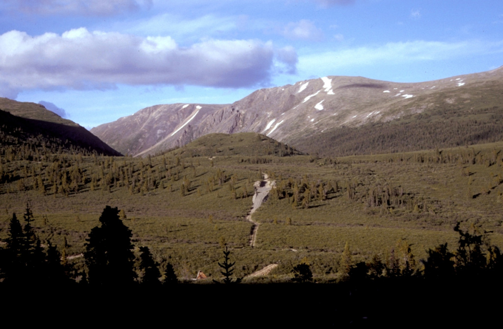
The Surprise Lake volcanic field in the Atlin volcanic district is a group of late-Pleistocene to Holocene cinder cones on the Teslin Plateau in NW-most British Columbia, between Atlin Lake on the W and Surprise Lake on the E. The largest volcanic feature is Ruby Mountain (named for the brilliantly colored tephra deposits on the summit and flanks), which has been partially dissected by Pleistocene and post-Wisconsin glaciation. Two basaltic cinder cones at the heads of Cracker and Volcanic Creeks lie within glacially dissected U-shaped valleys and were considered to be post-glacial (Edwards et al., 1996). Placer miners working in the region at the end of the 19th century reported an eruption from the Ruby Mountain area about 80 km S of Gladys Lake (Hickson et al., 1994; Edwards et al., 1996) during which ash fell for several days and the miners were able to work at night due to incandescent glow. However, no field evidence has been found to support any activity from that time, and the report is considered uncertain.
Wikipedia の要約
英語版の要約The Atlin Volcanic Field, also called the Llangorse Volcanic Field and the Surprise Lake Volcanic Field, is a group of late-Pleistocene to Holocene cinder cones that lies on the Teslin Plateau east of Atlin Lake, Canada. The largest volcanic feature is the 1880-m-high Ruby Mountain, which has been partially dissected by Pleistocene and post-Wisconsin glaciation. Two basaltic cinder cones at the heads of Cracker Creek and Volcanic Creek lie within glacially dissected U-shaped valleys and may be of postglacial age.
Wikipedia · CC BY-SA · 記事全文を読む →
噴火履歴
詳細タイムライン
- 1898年VEI ?地質学的推定1898-11-08 ~ 進行中
外部リンク
⚠ 参考情報です。緊急対応には使用しないでください。