Red Hill volcanic field
Red Hill-Quemado
火山原 · United States · 2300m
- タイプ
- 火山原
- 国
- United States
- 地域
- 北アメリカ / Basin and Range Volcanic Province
- 標高
- 2300m
- 座標
- 34.250, -108.830
- 最終噴火
- -9450年
- テクトニクス環境
- Rift zone / Continental crust (> 25 km)
- 火山地形
- Cluster
- 主要岩石
- Basalt / Picro-Basalt
地質学的概要
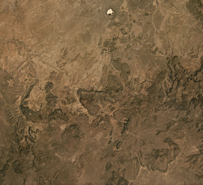
The Red Hill-Quemado volcanic field in western New Mexico is across the border from the Springerville volcanic field in Arizona and contains more than 40 cinder cones and maars that were active from the late Miocene to early Holocene. The volcanic field lies along the NE-trending Jemez Lineament that extends from SE Colorado to east-central Arizona. Dating by Onken and Forman (2017) showed that three eruptive events took place during the early Holocene, and that the 2-km-wide Zuni Salt Lake maar with its late-stage nested cinder cones was formed about 11,000-11,800 calibrated 14C years ago.
Wikipedia の要約
英語版の要約Red Hill volcanic field, also known as Quemado volcanic field, is a monogenetic volcanic field located in the vicinity of the ghost town of Red Hill in Catron County New Mexico. Red Hill is 24 kilometers (15 mi) east of the larger Springerville volcanic field and includes Zuñi Salt Lake. The area is made up of scoria cone and silicic dome fields. Over 40 volcanic vents have been identified in the field. These erupted basaltic flows, with no other rock types evident in the field.
Wikipedia · CC BY-SA · 記事全文を読む →
噴火履歴
詳細タイムライン
- 紀元前 9450年 (±400年)VEI ?地質学的推定BCE 9450 ~ 進行中Zuni Salt Lake maar
- 紀元前 9700年 (±450年)VEI ?地質学的推定BCE 9700 ~ 進行中2.5 km radius of Zuni Salt Lake
- 紀元前 9850年 (±500年)VEI ?地質学的推定BCE 9850 ~ 進行中Cerro Pomo?
外部リンク
⚠ 参考情報です。緊急対応には使用しないでください。