ロメラル山
Romeral
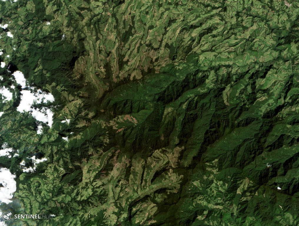
成層火山 · Colombia · 3769m
- タイプ
- 成層火山
- 国
- Colombia
- 地域
- 南アメリカ / Northern Andean Volcanic Arc
- 標高
- 3769m
- 座標
- 5.203, -75.363
- 最終噴火
- -5390年
- テクトニクス環境
- Subduction zone / Continental crust (> 25 km)
- 火山地形
- Composite
- 主要岩石
- Andesite / Basaltic Andesite
地質学的概要
The andesitic-to-dacitic Romeral stratovolcano lies at the northern end of the Ruiz-Tolima volcanic chain, NW of Cerro Bravo volcano, and east of the towns of Neira and Aranzazu. It has produced two young Plinian pumice deposits covering areas to the NW. The pumice deposits are separated by a soil layer radiocarbon dated at about 8,460 and 7,340 years BP.
Wikipedia の要約
英語版の要約Romeral is a stratovolcano located in Caldas, Colombia. It is the northernmost Holocene volcano of South America, of the North Volcanic Zone in the Andean Volcanic Belt. The volcano was formed in the Late Pliocene, approximately 3 million years ago.
Wikipedia · CC BY-SA · 記事全文を読む →
噴火履歴
概要 (VEI時系列)
バーをクリックすると個別の噴火が表示されます
詳細タイムライン
- 紀元前 5390年 (±350年)VEI 4地質学的推定BCE 5390 ~ 進行中
- 紀元前 6510年 (±200年)VEI 4地質学的推定BCE 6510 ~ 進行中
外部リンク
⚠ 参考情報です。緊急対応には使用しないでください。