Aliso
成層火山 · Ecuador · 4267m
- タイプ
- 成層火山
- 国
- Ecuador
- 地域
- 南アメリカ / Northern Andean Volcanic Arc
- 標高
- 4267m
- 座標
- -0.530, -78.000
- 最終噴火
- -2450年
- テクトニクス環境
- Subduction zone / Continental crust (> 25 km)
- 火山地形
- Composite
- 主要岩石
- Andesite / Basaltic Andesite
地質学的概要
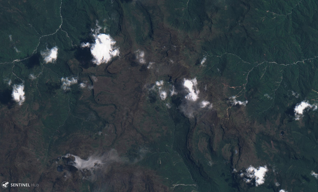
The Aliso volcanic complex lies at the eastern foot of the Ecuadorian Andes, east of Antisana volcano and SW of the town of Baeza. The largely unexplored complex contains an arcuate summit ridge on the west with older andesitic lava flows and tundra-like vegetation, and rhyolitic and dacitic lava domes in a wet cloud-forest environment on the lower eastern flanks. The Pumayacu center on the SE flank contains several lava domes along a NNE axis parallel to the Andean Thrust Fault System (TFZ). Morphologically young andesitic lava flows occur along the flat-topped ridge above Baeza town. The Pumayacu center erupted pyroclastic-flow deposits of late Pleistocene and Holocene age. One pyroclastic-flow deposit was dated at about 4,400 BP, and a pumice lapilli layer overlies a ceramic-rich cultural horizon thought to be about 2,000 years old.
Wikipedia の要約
英語版の要約Aliso, also known as Pan de Azúcar, is a 3,482-metre-high (11,424 ft) volcano in the Ecuadorian Andes to the east of Antisana volcano. The complex contains a semicircular western ridge and lava domes. The volcano has erupted rhyolites and dacites and some andesitic lava flows on a ridge above Baeza. It is covered with tundra and cloud forests. At least two eruptions of Pumayacu occurred during the Holocene; one dated 4400 years ago and another's lapilli deposits overlie a cultural horizon 2000 years old. Older eruptions have been dated at 1.15 ± 0.07 Ma and are of high-potassium types. They compromise typical arc-derived lavas with fractional crystallization and other differentiation processes.
Wikipedia · CC BY-SA · 記事全文を読む →
噴火履歴
詳細タイムライン
- 紀元前 2450年VEI ?地質学的推定BCE 2450 ~ 進行中Pumayucu
外部リンク
⚠ 参考情報です。緊急対応には使用しないでください。