Cerro Tujle
Tujle, Cerro
マール · Chile · 3550m
- タイプ
- マール
- 国
- Chile
- 地域
- 南アメリカ / Central Andean Volcanic Arc
- 標高
- 3550m
- 座標
- -23.830, -67.950
- 最終噴火
- 不明
- テクトニクス環境
- Subduction zone / Continental crust (> 25 km)
- 火山地形
- Minor
- 主要岩石
- No Data (checked)
地質学的概要
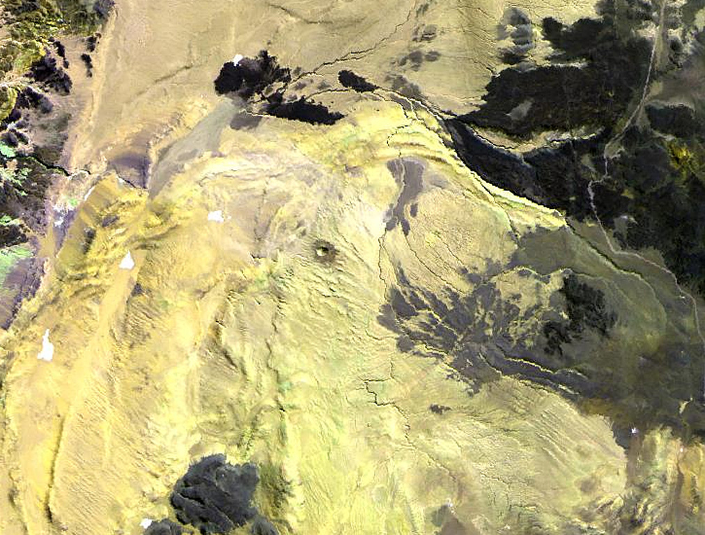
The Cerro Tujle maar (also known as Cerro Tucle or Cerro Tugle) in the Cordón de Tujle has a 60-m-deep crater (de Silva and Francis, 1991). The maar is located SE of the Salar de Atacama, N of Cerro Toloncha.
Wikipedia の要約
英語版の要約Cerro Tujle is a mafic volcanic centre in the Central Volcanic Zone of the Andes, Chile. It forms a 60-metre-deep (200 ft) maar that may have formed half a million years ago. Its eruption products are aphyric. Previously in 1977, this crater has been identified as a meteor crater with diameters of 300 by 350 metres.
Wikipedia · CC BY-SA · 記事全文を読む →
噴火履歴
詳細タイムライン
噴火記録はありません。
外部リンク
⚠ 参考情報です。緊急対応には使用しないでください。